
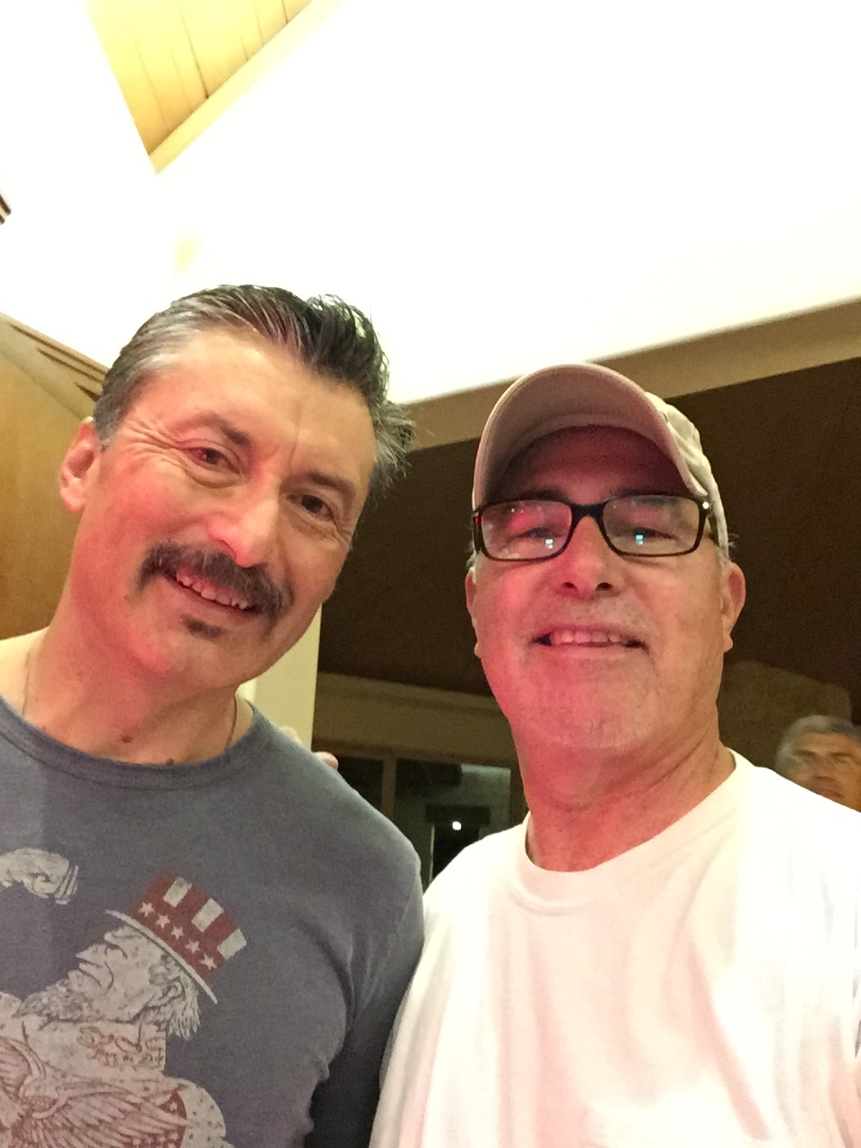
Summer 2017 Ride
Ricardo Perez
Summer motorcycle ride to West Texas, Arizona, Utah and Colorado.
Read MoreUse the form on the right to contact us.
You can edit the text in this area, and change where the contact form on the right submits to, by entering edit mode using the modes on the bottom right.
800 S. Francisco St.
Mission, TX
USA
Our website is all about motorcycles, especially BMW cycles. We cover rides in the Southwest and Mexico, motorcycle modifications and review motorcycle products.
Summer motorcycle ride to West Texas, Arizona, Utah and Colorado.
Read More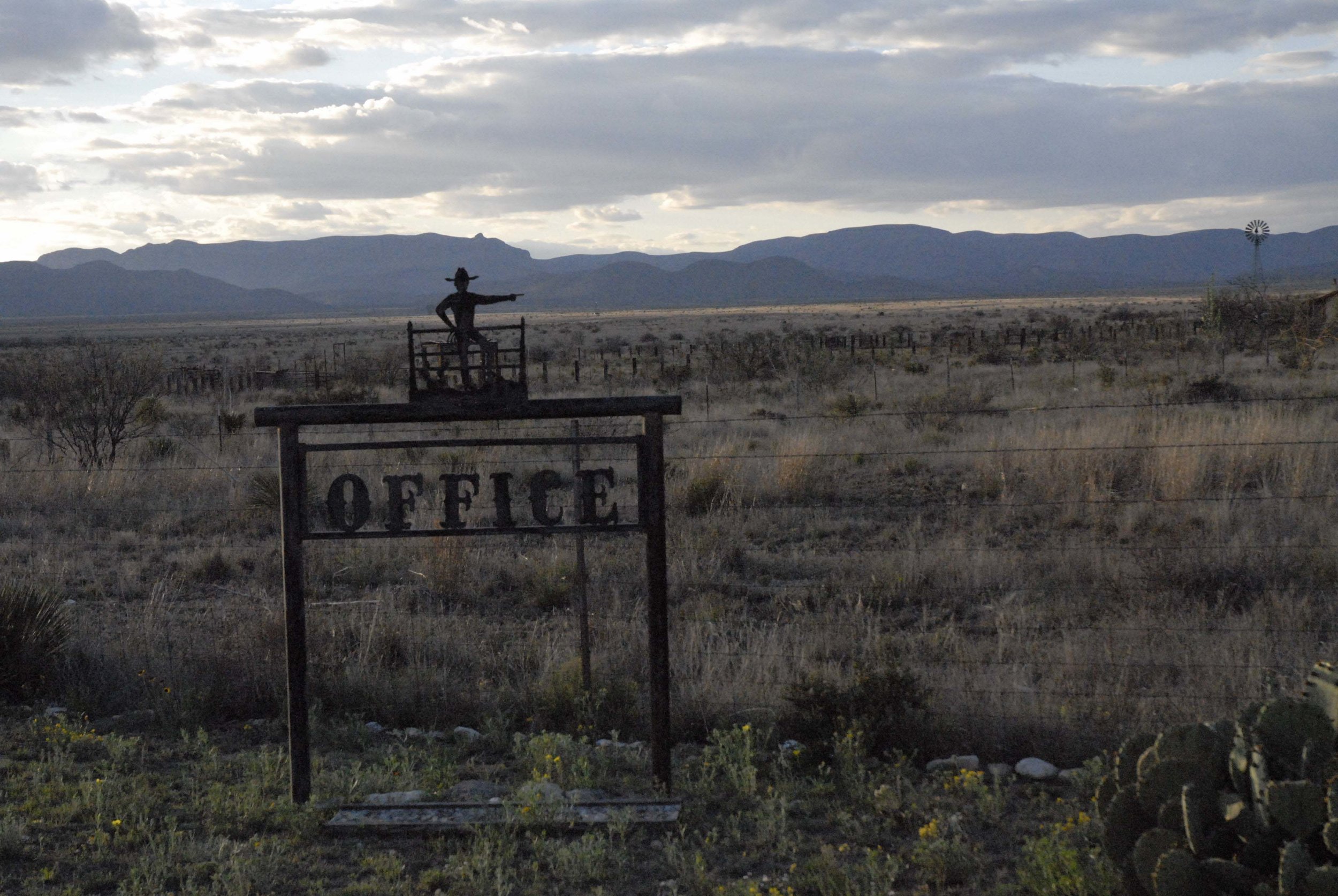
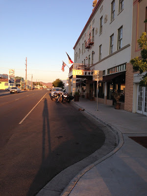
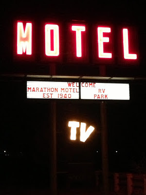
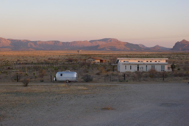
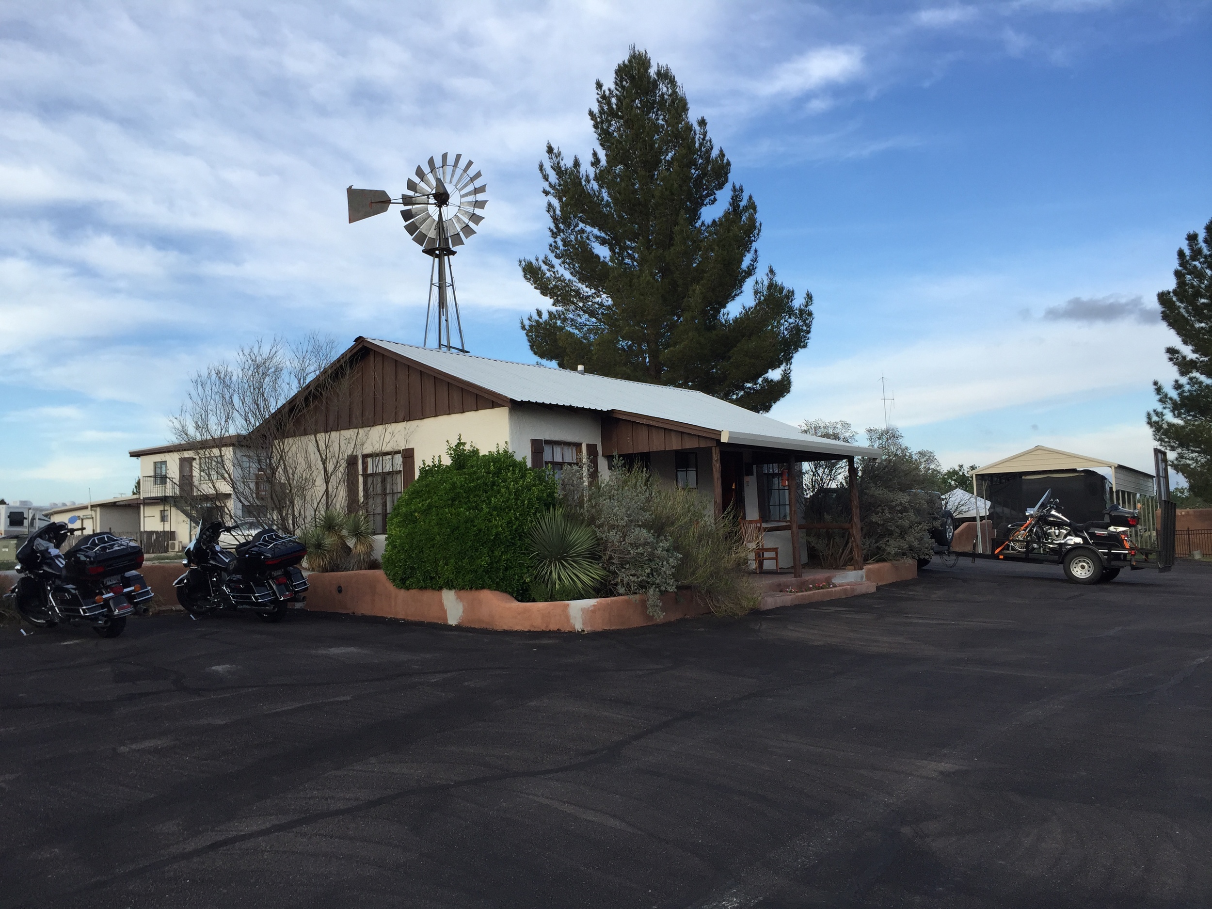
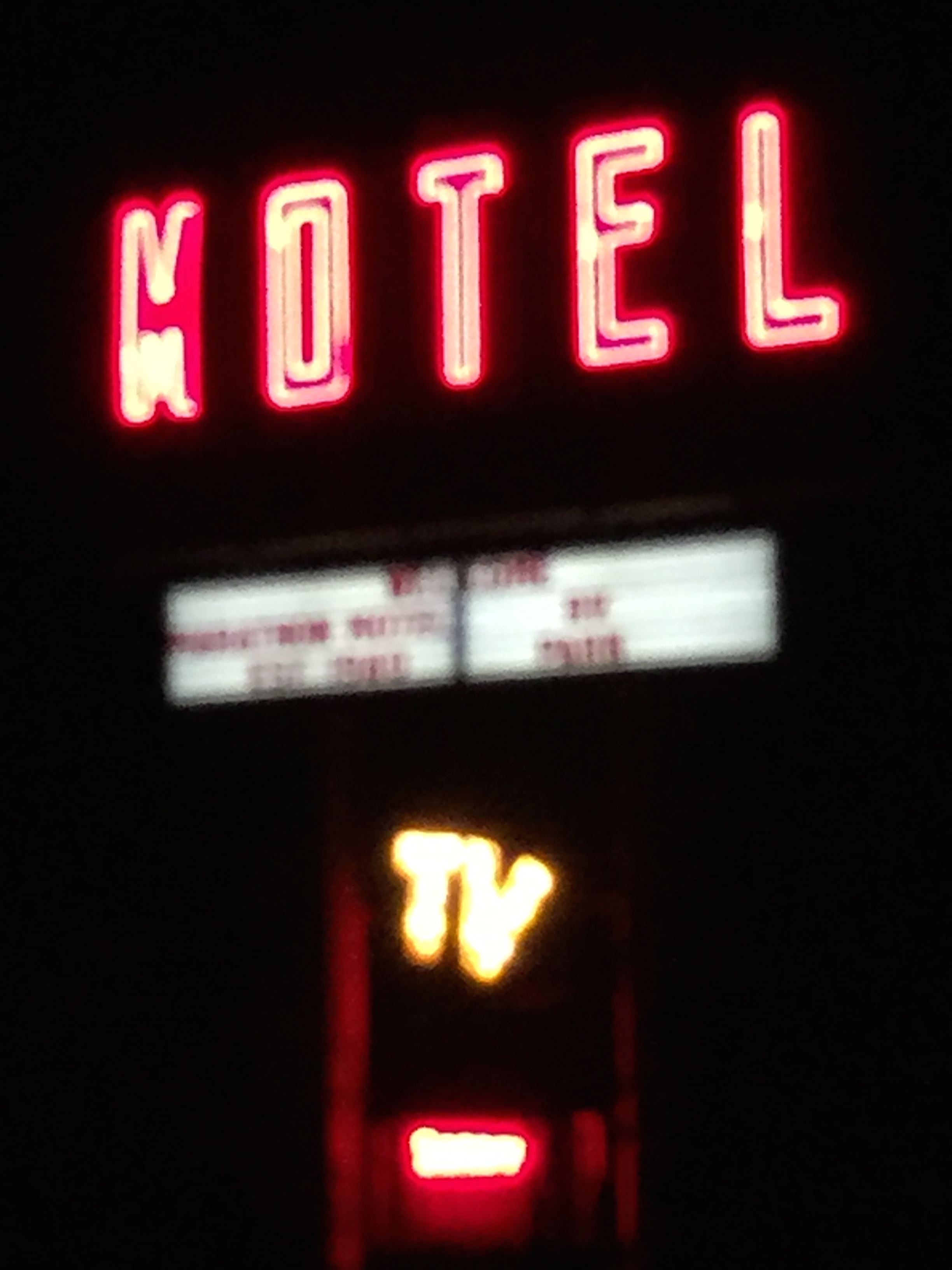
Marathon Motel & RV
Here's a quick summary via flipagram on our summer ride!
https://flipagram.com/f/tmkNOiUoNv
Big Bend National Park in April
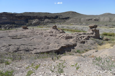
The Boquillas Canyon is over a 20 mile ride from the Park Headquarters, but definitely worth a visit. There's a large parking area just short of reaching the canyon and a short hike with a small rise gets you to an overlook of the canyon. On our visit we could plainly hear a Mexican National in the middle of the river with his horse singing a ballad. The canyon's walls carried his voice with plenty of amplification. He sang for tips which you could leave on the river bank. We suspect he was in the middle of the shallow running Rio Grande so as to make a quick exit back to Mexico should immigration officials came by. On the bank of the river were handmade curios selling on an honor system; if you liked something just leave some cash in a nearby can.
The park's official publication mentions that it is illegal trade and it is classified as contraband, subject to confiscation by federal officials. It may be correct, but it's not as if it's about to upend the balance of international trade. We noticed at the Chisos Basin shop some of the same curios for sale, but at a much higher cost.

The Boquillas Canyon, noteworthy for its International Port of Entry, is a must stop if you're in the park. The only thing akin to it may be the Prada Store Front Facade outside of Marfa. Both have no place in the Southwest. The Prada facade can be admired as a roadside point of interest, justifying its presence, but the Boquillas Port of Entry makes little sense. To begin with, there are no INS officers on duty, conveniently replaced by two kiosks (sorry no pictures of kiosks are allowed) where you are dutifully obligated to scan your passport; wait for it to be screened by a live agent in El Paso; then proceed to enter the United States legally.
I asked a park ranger if we just couldn't walk around the outside of the building without reporting to the kiosks and he said, "we have lots of cameras; you'd be stopped and deported". Never seen anything like it, a wonderful modern building located in a remote area of a National Park built for two kiosks! Not sure how that plays into our heighten National Security, but it makes a good POI (Point of Interest) in our southwest travel experiences.
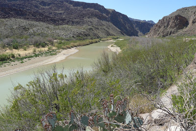
The Boquillas Canyon itself is not a massive carving and it's small compared to most canyons. In my opinion it's easily dwarfed by the Santa Elena Canyon on the western end of BBNP, but unlike Santa Elena Canyon, this one is interesting because of its inhabitants, both past and present.
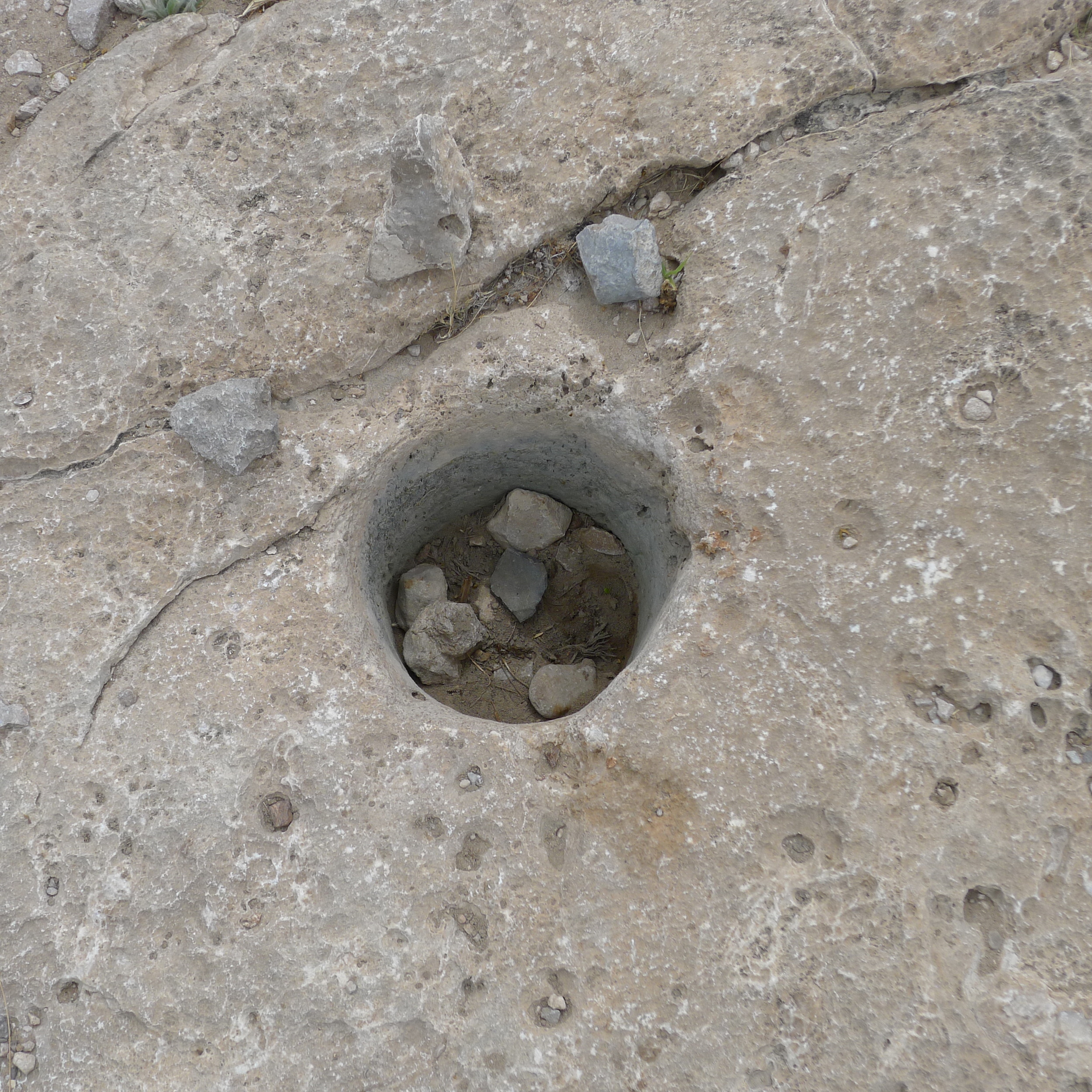
Ancient Indian food grinding hole.
As you walk up the rise before the canyon you can see in the limestone rock holes used by ancient indian tribes to grind their food grains. When we first spotted them we thought they were fence post holes and wondered why would anyone want a fence on top of this rock. We then noticed that they were in groups and obviously not the beginnings of any fence post holes.
As we walked over this limestone rise we could see the Rio Grande River meandering towards us then making a sharp turn away from us and into the beginnings of the canyon.

Rio Grande River at Boquillas Canyon
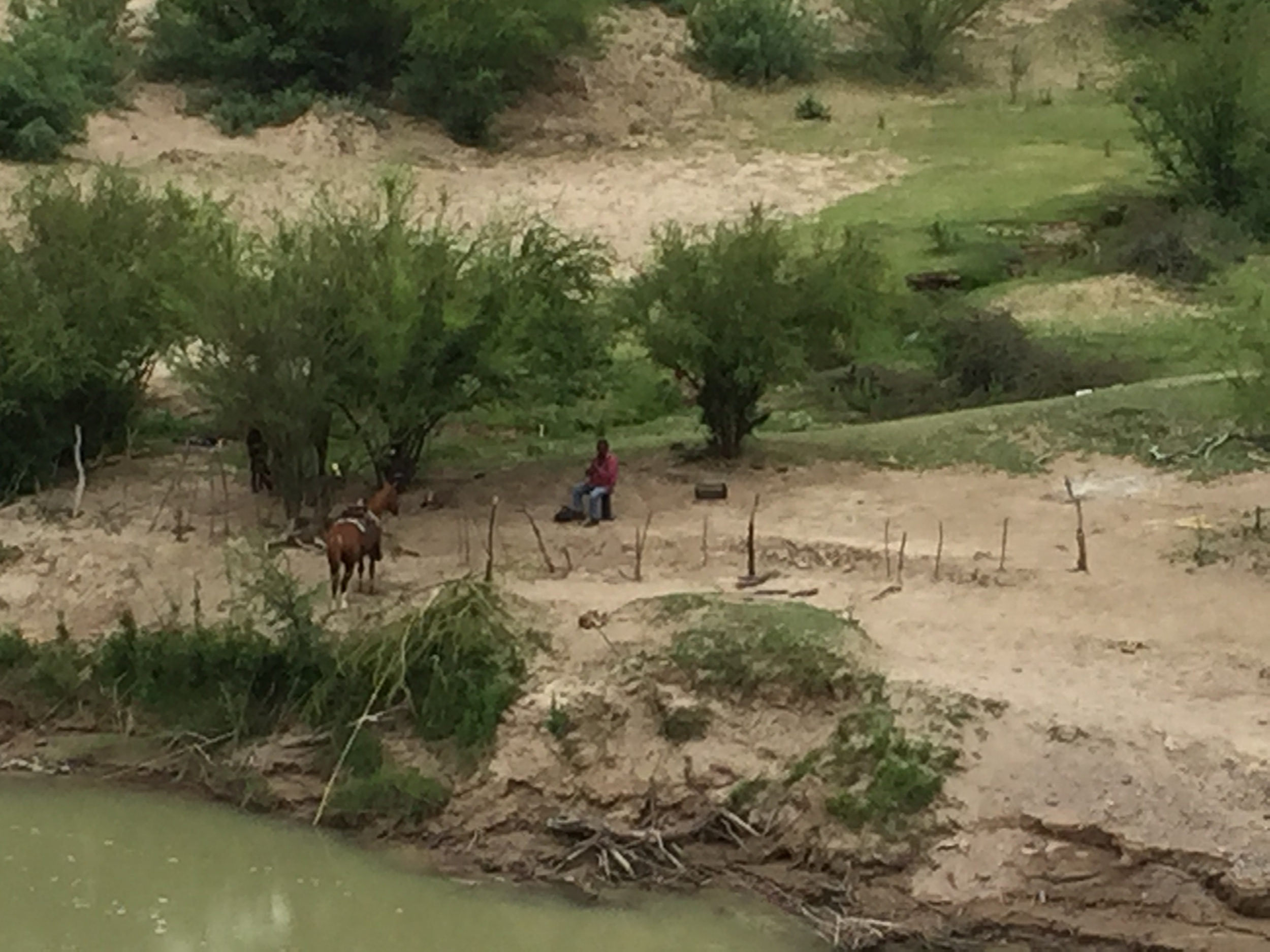
On the Mexican side of the Rio Grande a horseman watches his small group of horses grazing in his corral.
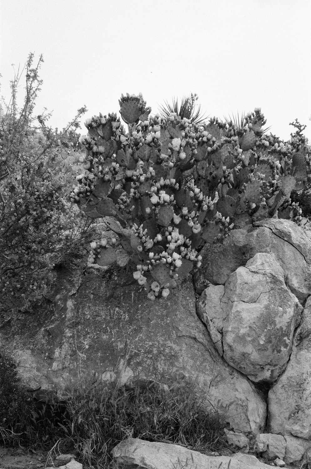
April is a great time of year to visit Big Bend National Park as plants are in full bloom.
Unlike Santa Elena Canyon, Boquillas offers a glimpse of life for the people of this area. There is a small Mexican community just across the river, Boquillas del Carmen. These people are the merchants who leave their art work on the US side of banks of the Rio Grande River and rely on an honor barter system. Buyers leave a donation in a nearby can or weighted under a rock. Of course, these are the individuals that the park states are contributing to the erosion of natural resources along the river. These merchants are subject to arrest, deported to Presidio, Texas, one hundred miles from their homes, and released in Ojinaga, Mexico. Small price to pay for selling a painted rock or lizard made of wire. In spite of the threat of arrest and deportation to Presidio it doesn't seem to affect this illegal commerce and it's hard to believe that either INS officials or Park Rangers take much interest in this illegal commerce. Of course, purchasing any of these items makes you an accessory to the crime.
There isn't much else to help the residents of Boquillas del Carmen make a living. In the old days you would just wade across in a small boat to enjoy an afternoon of eating and drinking without any type of checkpoint. It can still be crossed and enjoyed, but gone are the days of an imaginary border that meant little to either side. Now you've got to report to the man, Kiosks.
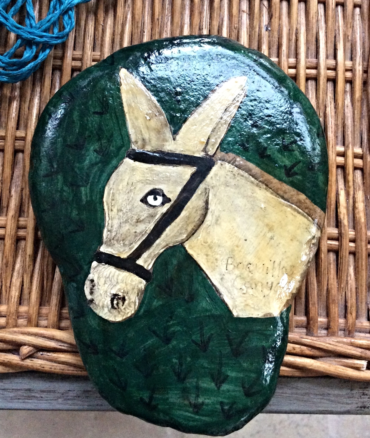
Boquillas Canyon contraband.
Visiting Big Bend after the spring rains in this arid region changes the entire park into a giant canopy of green grasses and flowering plants. It's my favorite time of year to visit the park.

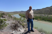
Making our way back from Boquillas Canyon towards the Park Headquarters.
We made our way back to the Chisos Basin for lunch and then headed out the west end of Big Bend into Study Butte and Terlingua then trekked north into Alpine before heading back to Marathon, Texas for the night. It was a nice three day ride, 1,500 miles.
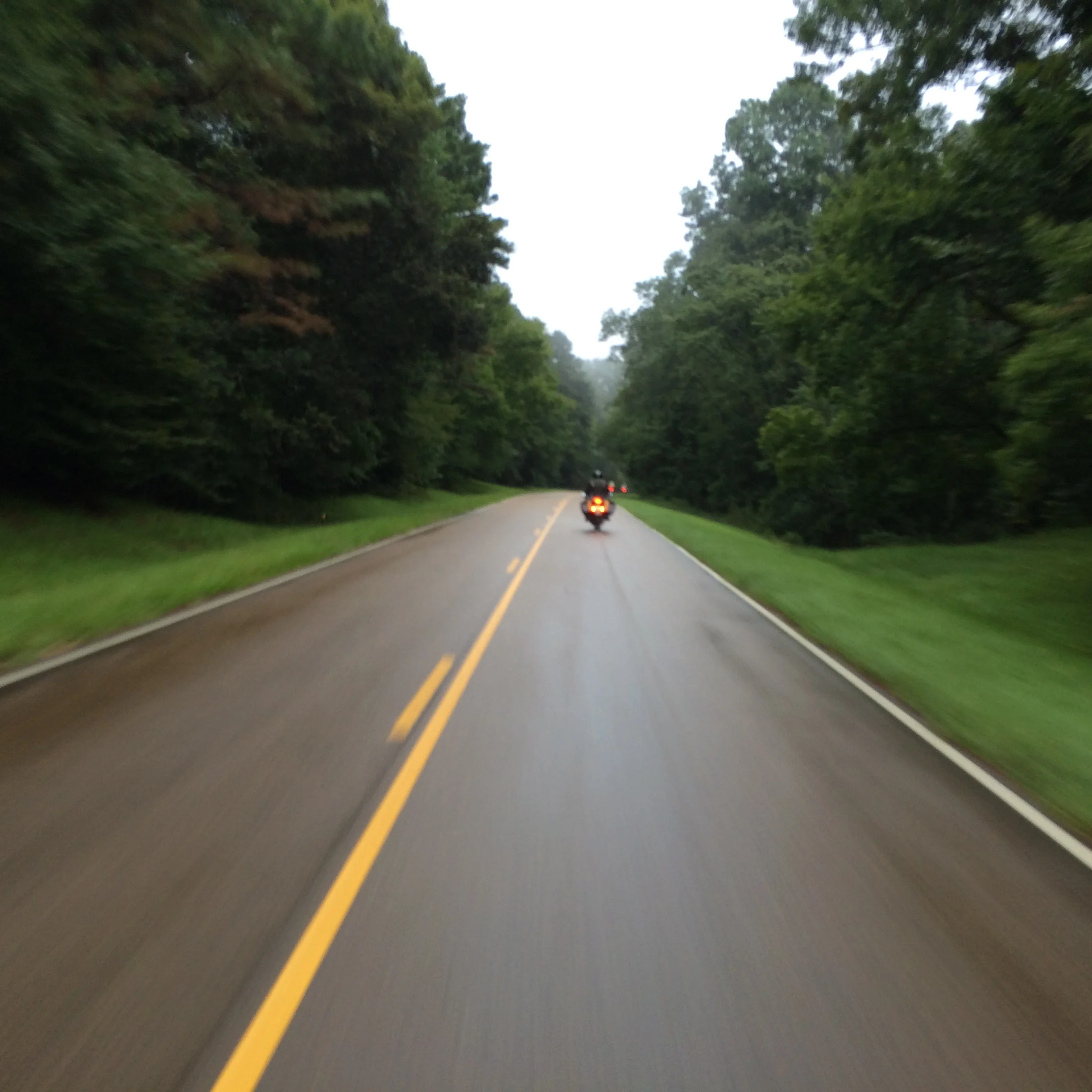
Riding the Natchez Trace on a rainy afternoon.
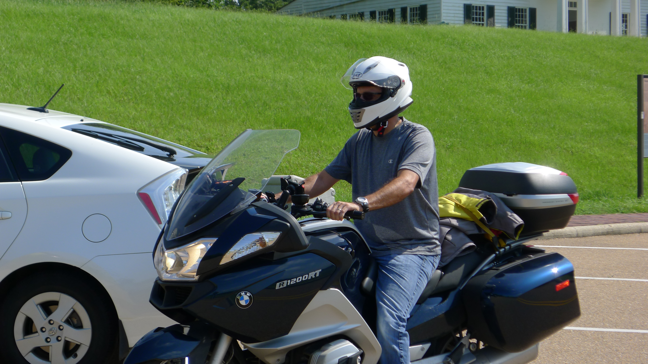
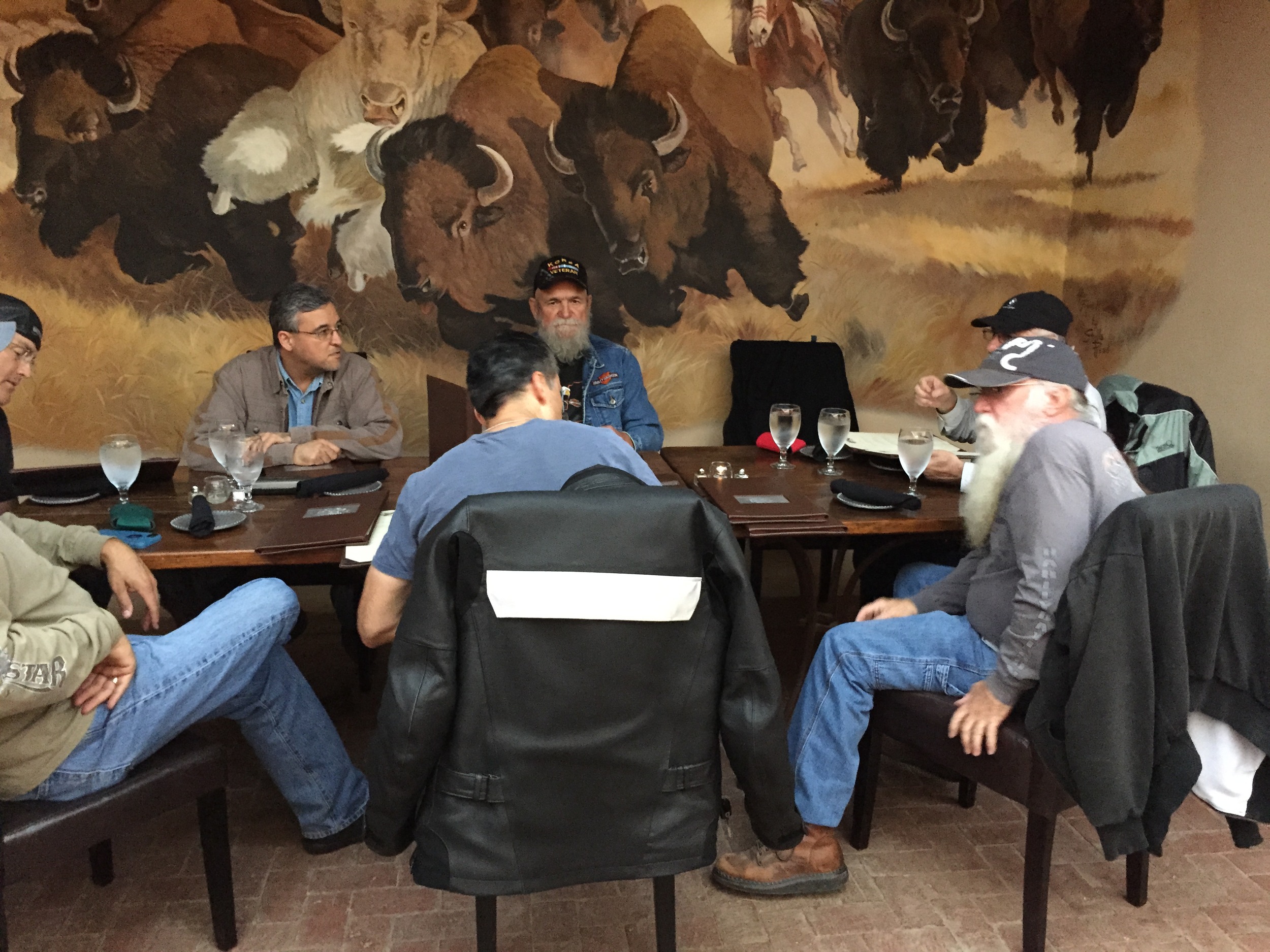
A September ride through the Natchez Trace and visit to Vicksburg started out by us running ahead of the remnants of Tropical Storm Dolly in the Rio Grande Valley. Dolly had just come ashore into Northern Mexico the day before so the valley was still getting dumped with much needed rain as we headed north toward Houston. There were three of us leaving the valley with plans to meet a fellow rider riding from south Florida somewhere in Mississippi that evening.
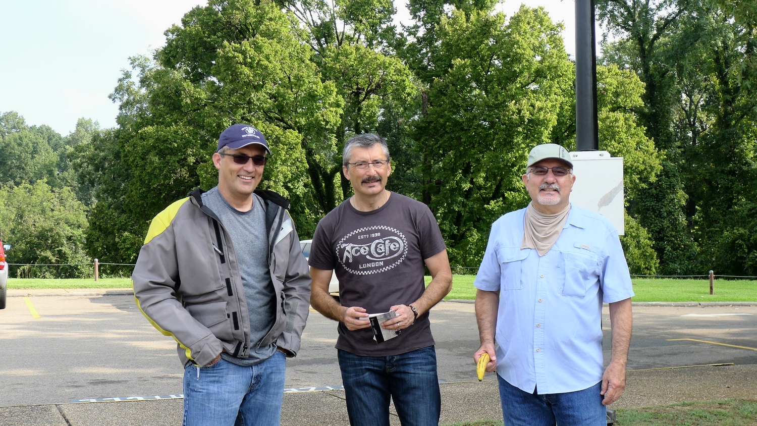
David, Marco, & Tomas
We went through some heavy rain just north of Edinburg, Texas so we pulled into an abandoned convenience store's gas pump station to get our rain gear on and kept moving north. The rain dissipated before we hit the border patrol check point just south of Falfurrias, Texas so we pulled into a McDonald's to get our rain gear off. Luckily we dodged more rain the rest of the day or we just rode through some quick rain without having to get into the rain gear. If we kept moving we managed to stay dry enough.
We had left Mission about 6am and met Marco at his home in Edinburg, after a quick cup of coffee we were off. Marco wanted us to stop for lunch at a BBQ place just south of Houston, but it had burned down. It must have been really disappointing to Marco because he just stood on his bike in the middle of the access road forever. I finally had to ask him if he was waiting for it to re-open. So we moved on and stopped at a trusty What-a-Burger place in Rosenberg. Houston was its typical crazy traffic self. It took us about an hour just to navigate through town on a hot muggy afternoon. On the other side of Houston traffic between it and Beaumont finally picked up and we flowed along at a nice 80mph clip. Another 26 miles or so and we were in Louisiana. It was still cloudy and rain was hit or miss as we made our way across the high Lake Charles bridge.
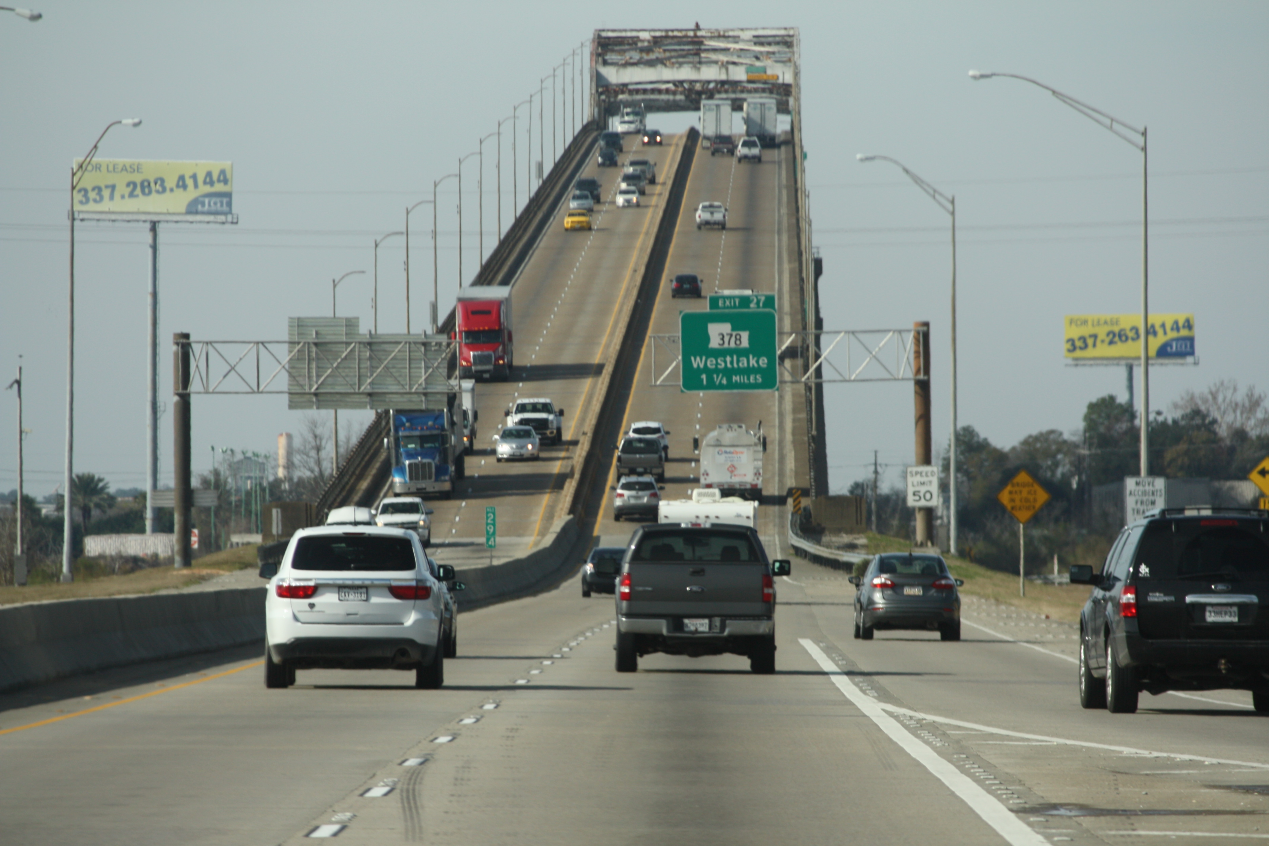
Picture from rvthereyetchronicles.com
If you're afraid of heights like I am, then it's best to take the inside lane and not look down. The guys razzed me on how I sped up to cross over instead of slowing down to enjoy the great view. Never saw it as I fixed my gaze on the pavement a few yards in front of me. It was over quickly, after all, it's not Mount Evans in Colorado.
We decided to end the day in Lafayette, Louisiana by checking into a Hampton Inn. We waited all of about five minutes when David rolled in from Plantation, Florida. We rode about 700 miles and he about 900 miles and reached our meeting point almost exactly at the same time. How's that for coordination.
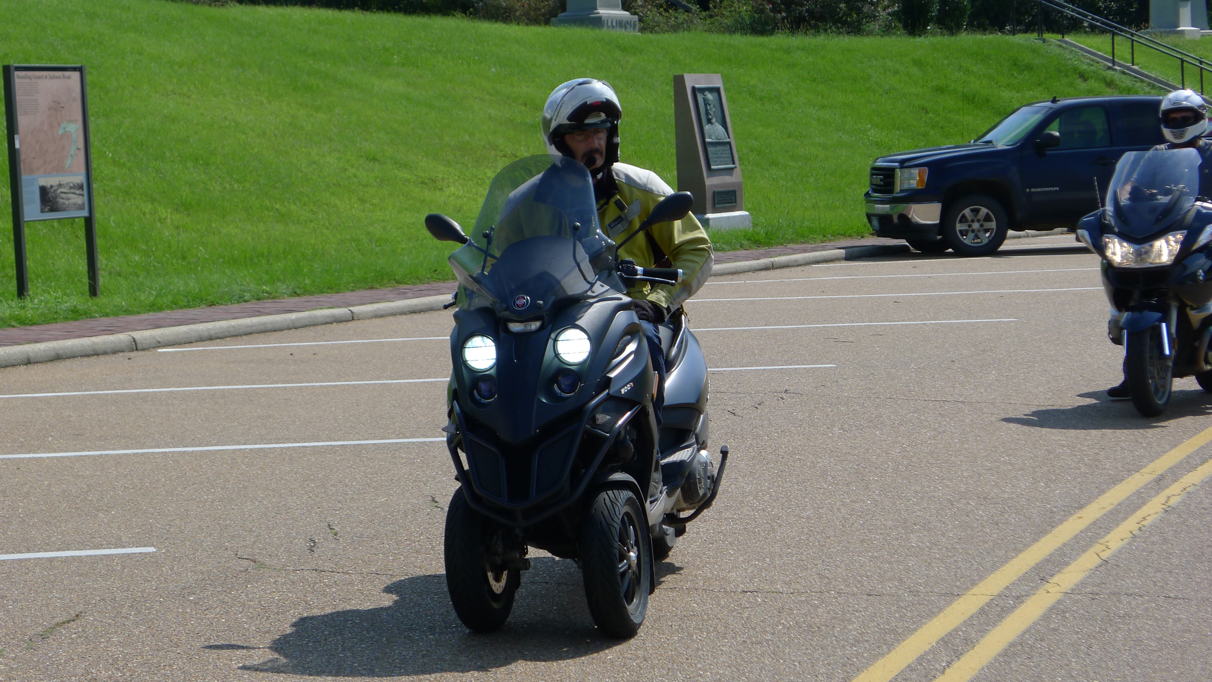
In the morning Marco and David exchanged bikes, David getting his BMW R1200RT back and Marco getting his newly purchased used scooter, a Piaggio 500. It's that three wheeled scooter that has its two front tires relatively close together for added stability. It's only a 500cc machine, but it's no slouch on the highway. On our way back to Texas, late at night, we were doing 80mph and happen to pass some 1%ers (one percenters) who were doing about 75mph, and I'm sure their significant others riding with them are still beating on them on "how could you let someone on a 'scooter' pass you up!". I was just hoping that we wouldn't breakdown in front of them.
We had left Texas without any definitive plans so Friday morning we all decided that rather than ride to New Orleans we would do the Natchez Trace. "The Natchez Trace, also known as the "Old Natchez Trace", is a historical path that extends roughly 440 miles (710 km) from Natchez, Mississippi toNashville, Tennessee, linking the Cumberland, Tennessee and Mississippi rivers. It was created and used for centuries by Native Americans, and was later used by early European and American explorers, traders and emigrants in the late 18th and early 19th centuries. Today, the trail is commemorated by the 444-mile (715 km) Natchez Trace Parkway, which follows the approximate path of the Trace,[1] as well as the related Natchez Trace National Scenic Trail. Parts of the original trail are still accessible and some segments have been listed on the National Register of Historic Places." (from Wikipeada) http://en.wikipedia.org/wiki/Natchez_Trace
To get there we had to ride from Lafayette to Natchez so we decided not to ride on the main highways, but the take the more scenic back roads to Natchez. I changed my Garmin to the new "Curvy Roads" configuration to see what it would draw out for us. Well, it wasn't long before we ended up on a narrow, half paved, road to 'who knows where?'.
Here's where my Garmin's Curvy Roads took us! With no idea what was ahead of us! We decided on a road with at least two lanes.
The back roads took us through some nice little towns and rural roads that led us up to Hwy 15 that runs along the banks of the Mississippi River then eventually crosses the river into Natchez, Mississippi. It was about 3pm when we reached Natchez and we rode to a seafood restaurant. After a late lunch we started out on the trail. It's a well paved two lane highway with a maximum speed limit of 50 mph. The leg we rode between Natchez and Jacksonville is void of any sharp curves as the gentle curving road is a continuous ribbon of asphalt on an emerald bed of green grasses, shrubs, and trees. It's beauty is intoxicating. Our ride lasted a while as we generally were going much slower than the posted speed limit and frequently stopping to admire the views.
Eventually, we turned off onto a small road that had memorial signage recognizing it as "Grant's March to Vicksburg". It got dark soon after we made that turnoff so we didn't get to see much except for an occasional sign recognizing it as Grant's March. By about 9pm we made it to a local Hampton Inn in Vicksburg.
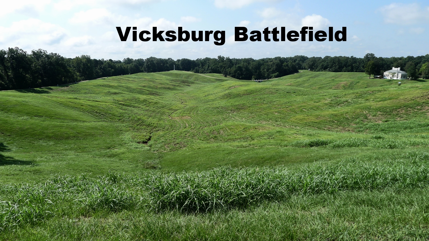
Early the next morning we discovered that the hotel was directly across the street from the Vicksburg National Military Park. The Park is part of the National Park Service so if you have your NPS Pass you can get in without any additional cost.
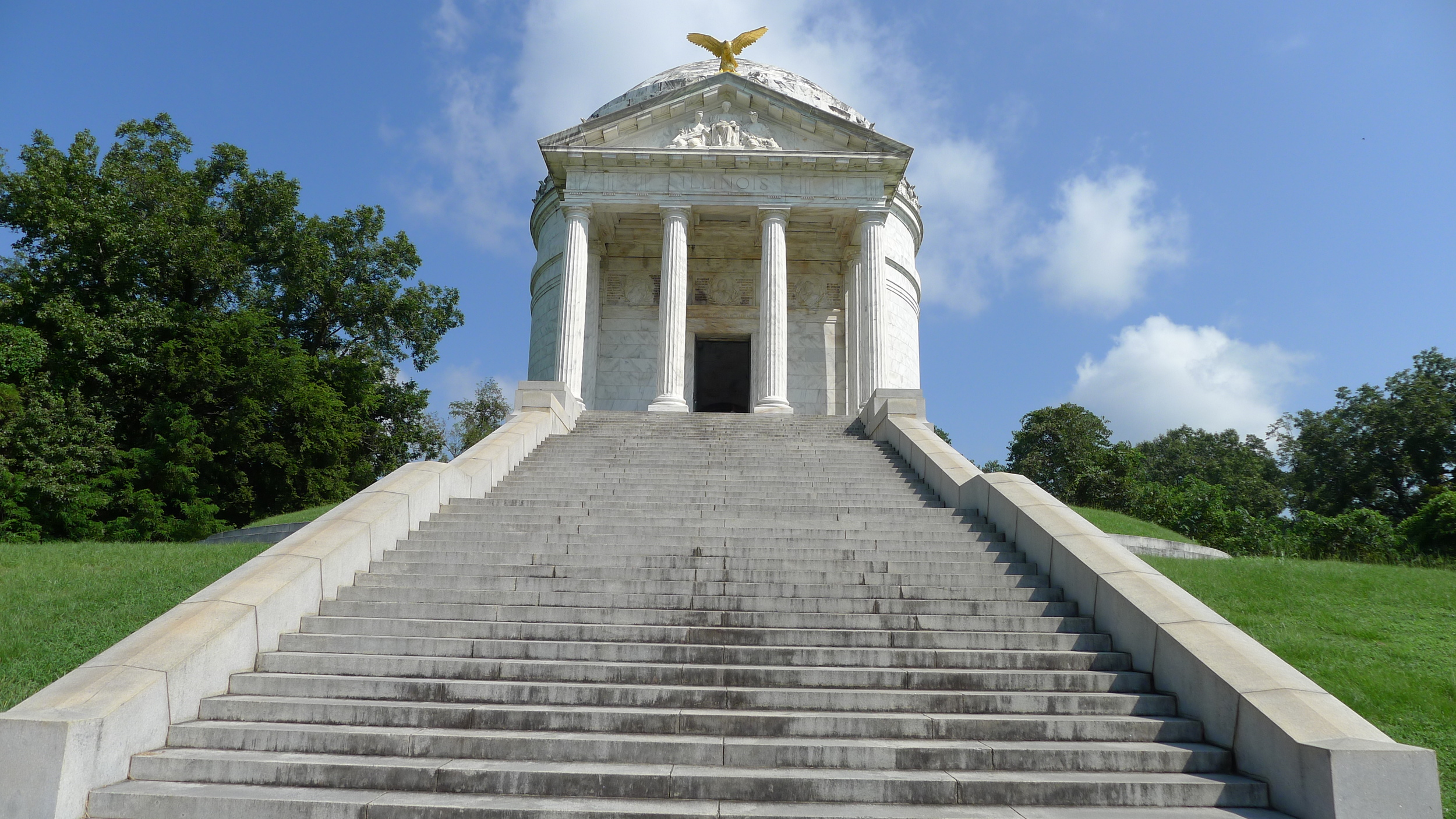
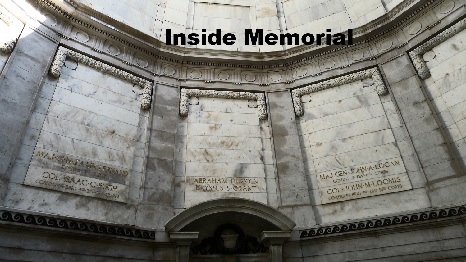
The Illinois Memorial at the Park.
The Park is essentially a 16 mile loop of the the battle grounds that made up the siege of Vicksburg. There are over 1,300 places on the grounds commemorating the history of this critical Civil War battle. It can easily take all day to tour. Each battle site is identified with either a blue sign identifying it as a Union site or red for the Confederates. If you like Civil War history this is a "must see" stop.
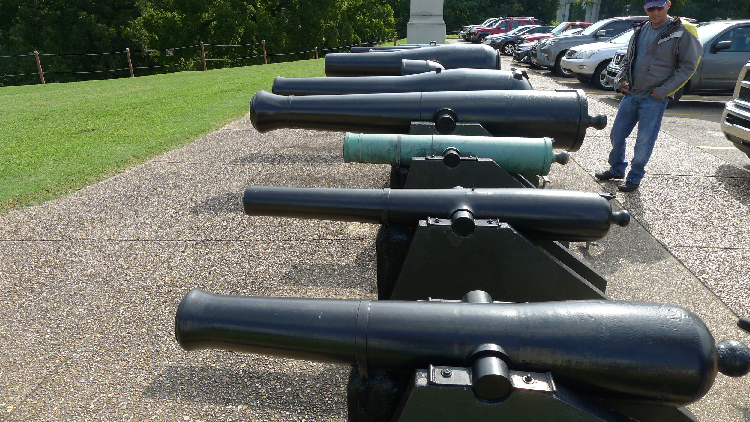
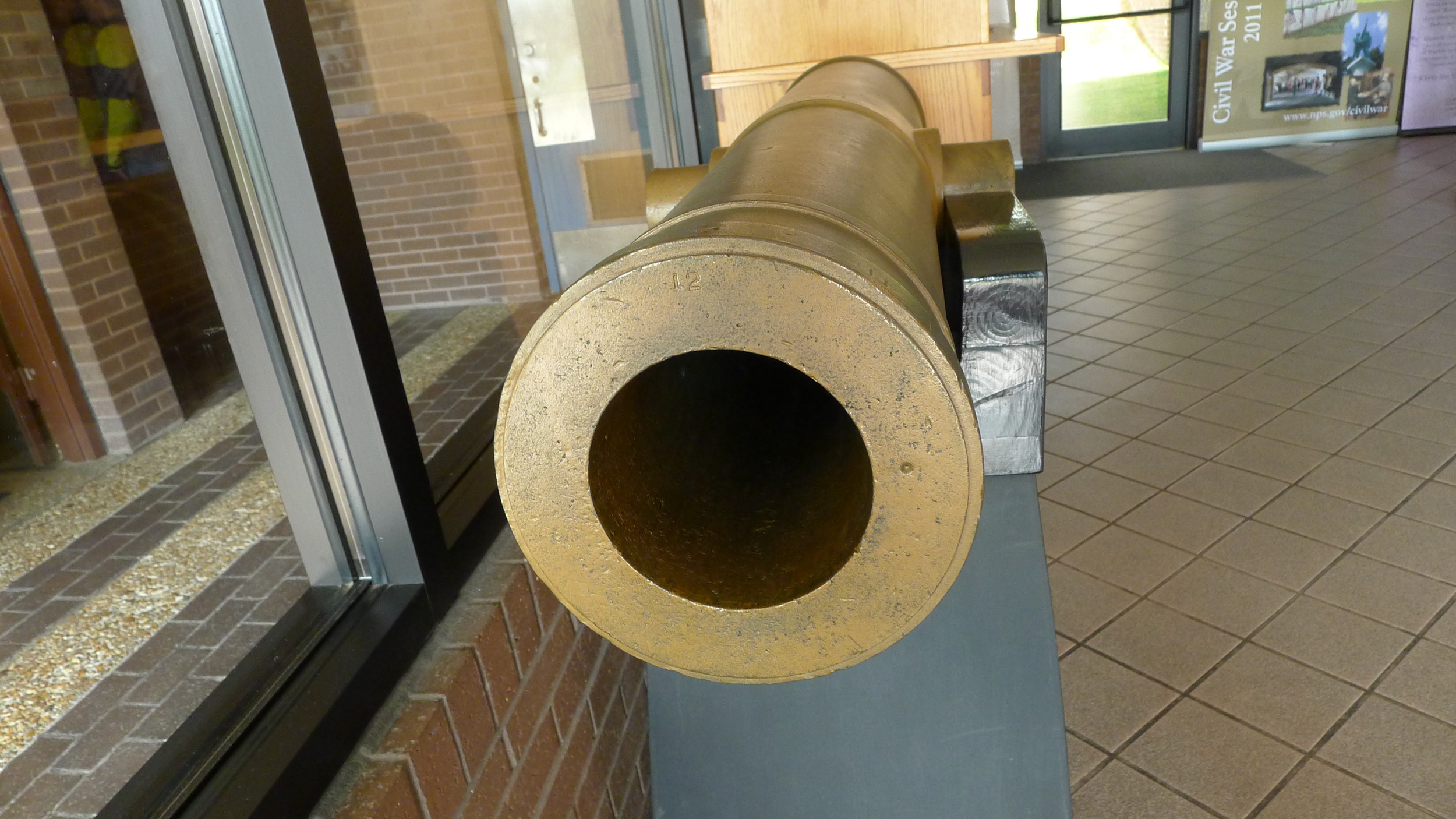
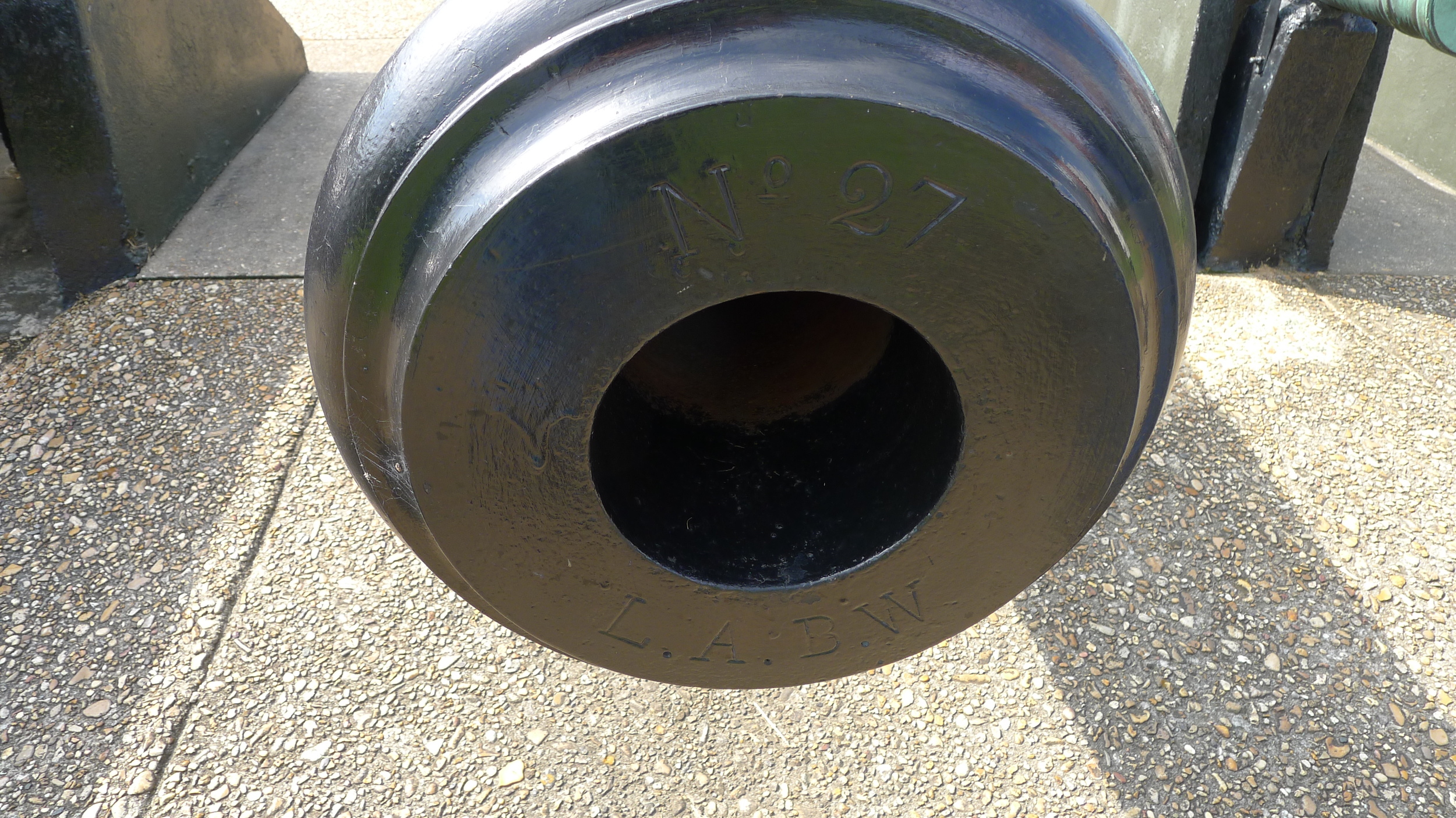
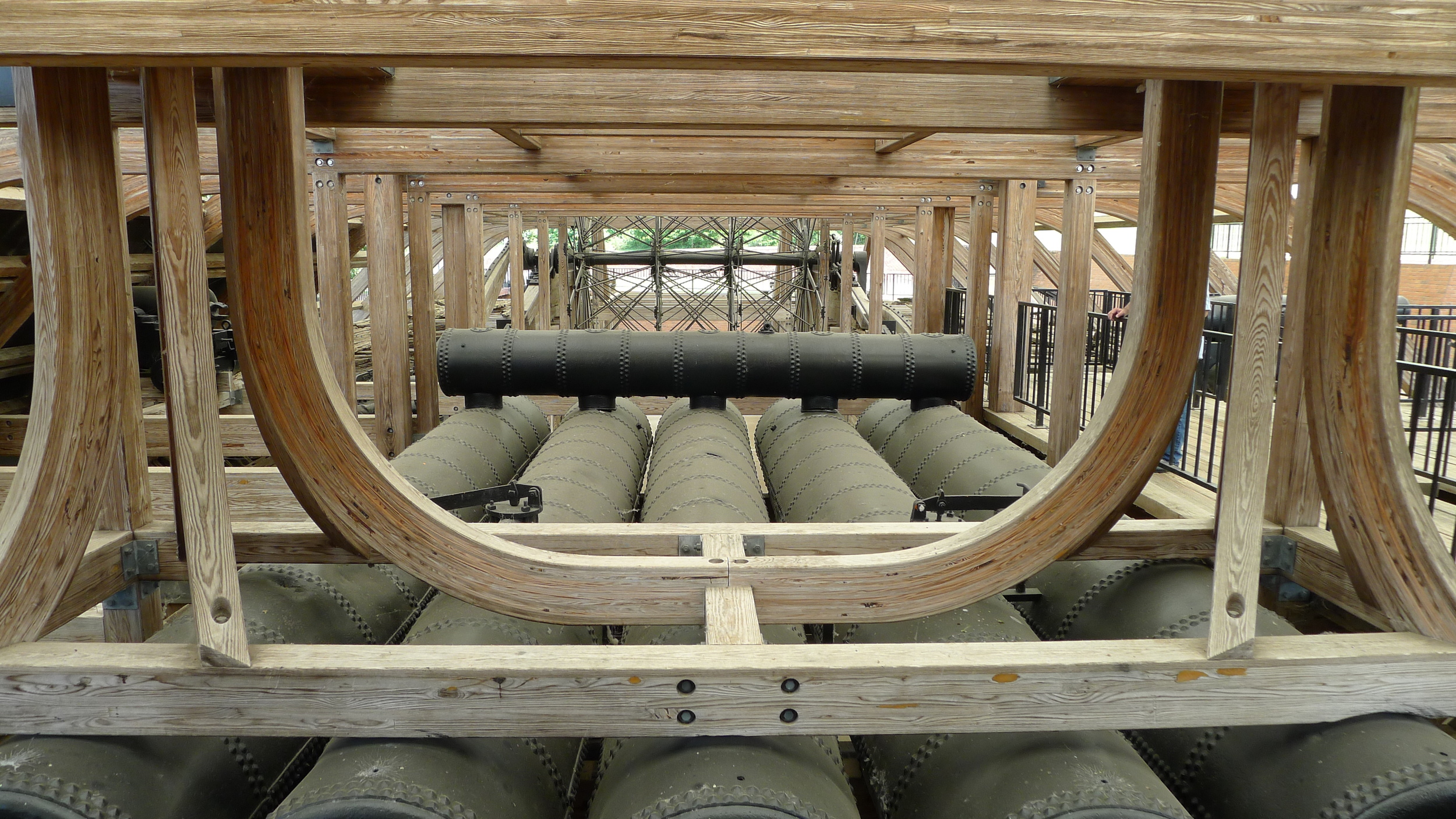
Civil War Cannons.

National Cemetery at Vicksburg
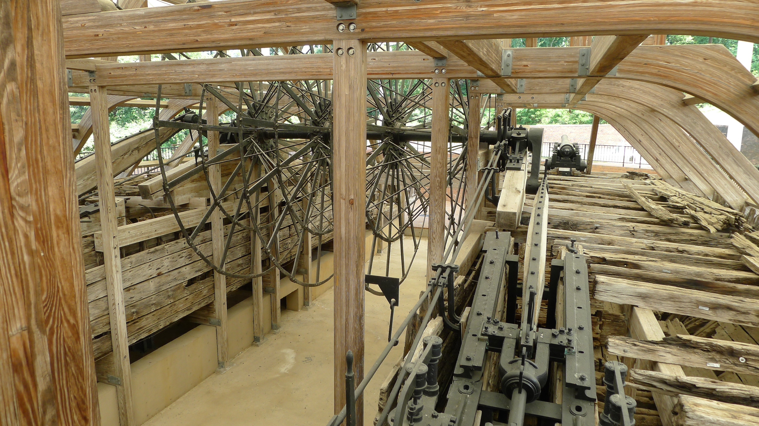
There's also a iron clad ship that has been restored. The ship, named USS Cairo, was sunk by a Confederate mine during the siege of Vicksburg. It was raised up out of the waters of the Yazoo River in the 1960s and is now on display in the park.
"The U.S.S. Cairo was one of seven ironclad gunboats named in honor of towns along the upper Mississippi and Ohio rivers. These powerful ironclads were formidable vessels, each mounting thirteen big guns (cannon). On them rested in large part, Northern hopes to regain control of the lower Mississippi River and split the Confederacy in two.
The "city class" gunboats were designed by Samuel M. Pook and built by river engineer James B. Eads. Cairo was constructed at Mound City, Illinois, and commissioned in January 1862. The Cairo was destined to see only limited action in the engagement at Plum Point in May and in the battle of Memphis in June. Her most significant action came six months later when she kept a rendezvous with destiny." http://www.nps.gov/vick/u-s-s-cairo-gunboat.htm
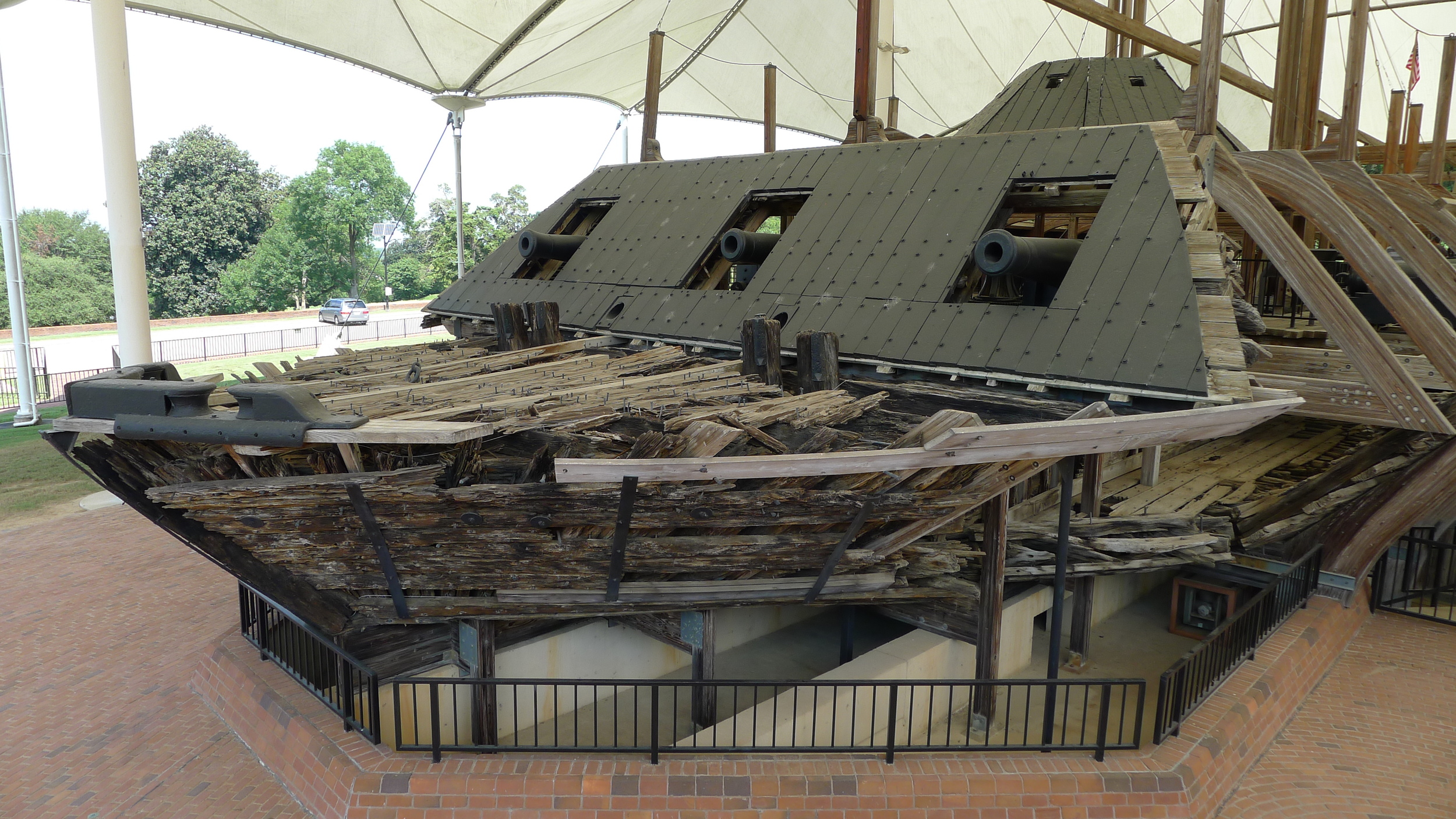
USS Cairo
Seven gun boats all like the Cairo were built within a 100 days at a cost of approximately $107,000 each. The USS Cairo had a crew of approximately 184 sailors and all survived the sinking of the boat. A museum adjacent to the USS Cairo displays many of the items which were recovered from the ship. It's an interesting visit and well worth your time.

If you're into Civil War history a ride into Mississippi and the Vicksburg area will be well worth your time. The roads are scenic and not too crowded. There's lots to do and see. We eventually headed east towards Jackson then south just north of New Orleans before getting back on I10 West to Beaumont. After a night's stay in Beaumont we were back home by mid-afternoon, a 430 mile ride. We had left on Thursday, back by Sunday and logged over 1,700 miles. It was a little wet at times, but nevertheless a great ride.
I purchased the K1200S only a year ago with just 3,000 miles on it. I meant to buy it, fix whatever needed fixing, and clean it up for possible sale. Most of you know that my main touring bike is a BMW R1200RT but every time I ride the KS I find it very difficult to part with it. So... with this in mind and the bike at 7980 miles I decided to finally replace the tires that were on the bike since 2008 with a new pair Michelin Pilot Road 4 tires.
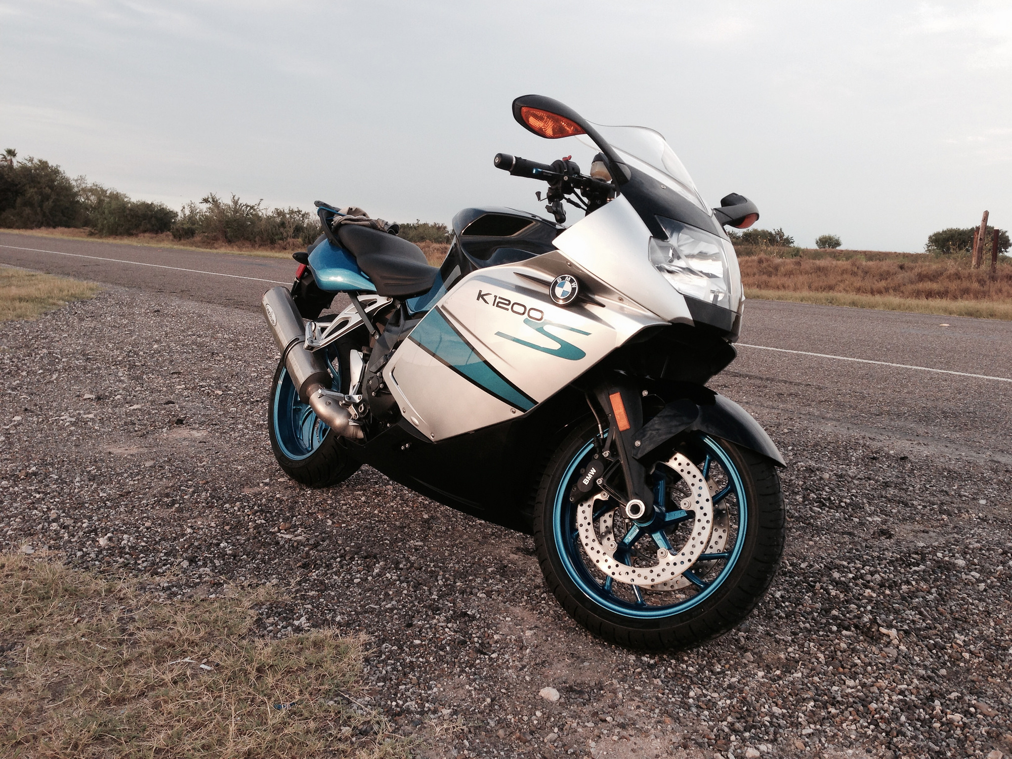
The KS taking a break...
I used a local independent motorcycle shop to do the tire mounting and balancing. In order to become one with the KS I decided (although I got to a point that I regretted this decision) to take the wheels off myself. Somehow, with my brother's help, I used his motorcycle jack to raise both wheels off the ground so that I wouldn't have to make two trips to the shop. By the way, my bike doesn't have a center stand, I've thought of getting one but the only thing holding me back is the fact that I will have to cut the belly pan. I like the way it covers most of the bottom as it is now. Second choice is a Pitbull stand and I think I would need two for front and rear. Comments welcomed with this regard.
Took a few boards to properly set up the jack.
About to install. Wheels are waxed.
One of the things I like about my KS is that it has the color matched wheels. It adds so much to the bike. Since it's not often that we remove the wheels I wanted to take the opportunity to clean them well and apply some protection to the finish. I first washed the wheels while the old tires were still on the wheels. Clean wheels are simply a lot cleaner on hands and clothes while moving them around and it's also easy to show the tire shop that the wheels are in perfect condition. Simply put... I don't want them scratched up. After I got the wheels back with the new tires I used a cleaner/wax to clean them even better. The cleaner/wax helps to soften baked on stuff like brake dust and bugs. Apply some on whatever gunk, let it sit a while and then wipe with a micro fiber cloth. I used the Meguiar's Cleaner Wax. After doing 2 or 3 passes of the cleaner wax and buffing to a basic shine I applied a coat of Collinite No. 476S wax. I recently got this wax and I use it on both bikes and cars. I'm very impressed with it.
Nice...
By the time I finished cleaning the wheels it was getting dark. I mounted the wheels myself as the sun was setting but the fender and belly pan were done as it got dark. The reason for this delay, although it is a very easy job, is that I washed both parts. I then applied interior detailer on the belly pan and #476S to the front fender. Up close it looks a bit odd because I have not washed the bike and my last ride included riding through a light rain. That's the bike below right after I installed the wheels and rode the bike over to a gas station.
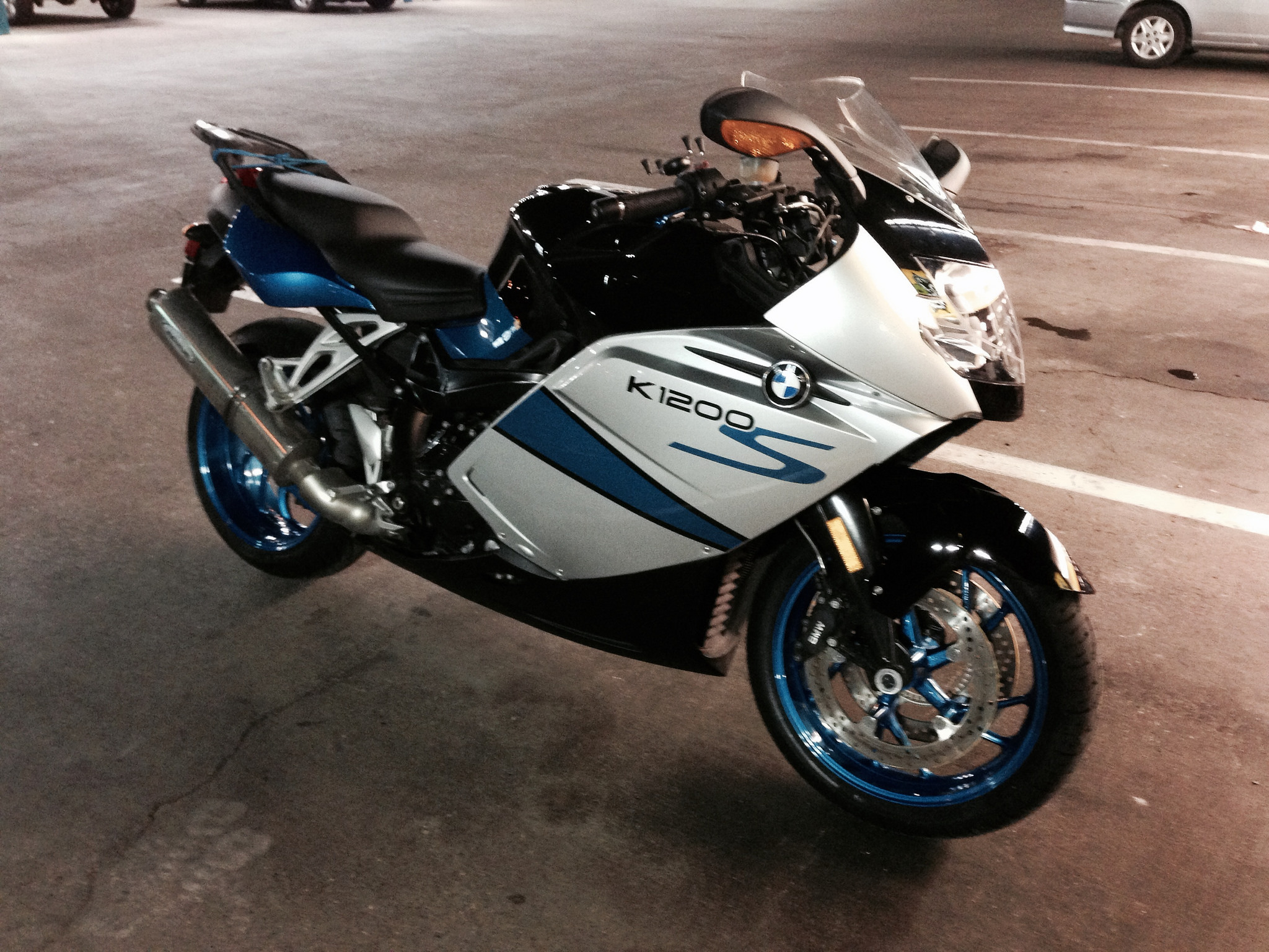
At a gas station. One mile on tires.
I rode the bike to the gas station and back and called it a night. It would be two days before I got a chance to ride it and scrub the new tires up a bit.
I decided to ride out to San Isidro - a distance of 48 miles from my house. Round trip would nearly put on the "standard" 100 miles on a set of new tires that people say to do before really pushing them to the limit. But I'm not one to push tires to the limit - especially on a bike like the KS. Nevertheless...
About 8 miles from San Isidro 681 (N-S route) butts up to 1017 (E-W route). I stop at the stop sign and waited since a tractor trailer is approaching from the east. About that time he switches on his blinker to his left. Well... since he is slowing I figure I can pull out since I'm heading west and I can accelerate fast enough to avoid slowing the cars that are behind the 18 wheeler. Besides... it's a good excuse to open up the throttle of the KS just a bit. The KS lives in it's lower 25% of it's capacity. At least it is with me.
Time in each gear under these conditions is like 2 seconds on the KS and I shift at about 50% of redline. Get to 6th, look down and see the needle passing 90MPH. Cut the throttle about half way and look back to make sure I cleared the cars. Oh shit! Red and blue lights on a black and white! DPS on my tail! I pull over thinking I made a stupid move since I couldn't see the cars behind the truck. I don't think he clocked me because he asked me if I knew how fast I was going. I said "no sir but I was accelerating a bit hard to avoid the traffic". He says "well it was over 80 mph and the limit here is 70 mph. I'm giving you a warning." After writing me the warning he told me to be safe and enjoy the rest of my ride. He also added that he liked my motorcycle jacket - a BMW Airflow that's so well worn that it's almost grey instead of black. (Forgot to take a picture of his car with lights flashing behind the KS).
On my way back I pulled over to take pictures of an old airfield north of Mission. During some of my college days I worked at this location. I worked with the Screwworm Eradication Program. It involved the raising millions of flies. Weekly production ran as high as 200,000,000 flies. My job was to remove the maggot shit from the feeding trays. The job basically involved scooping the poop up with our gloved hands and putting it in pails. I'll save the gory details for a separate post. I hated the job but paid better than average government wages. Mike Rowe's Dirt Jobs would have loved to show that place although I don't think I am suppose to talk about it. Security was very high.
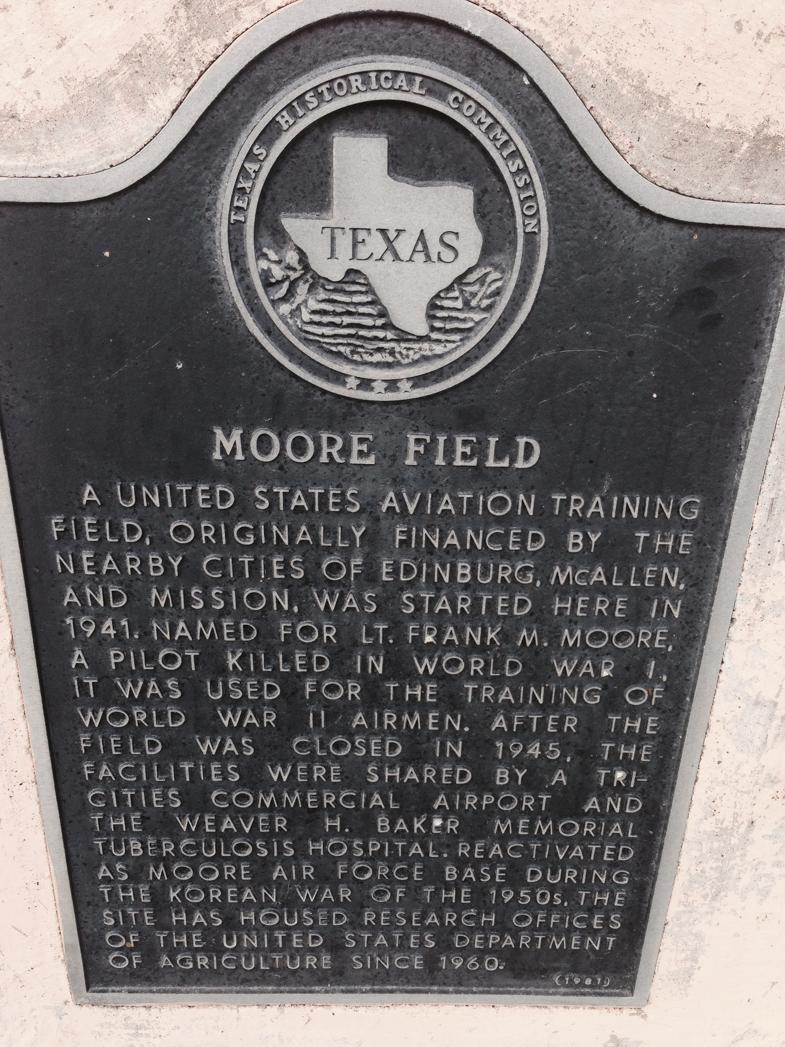
Texas Marker
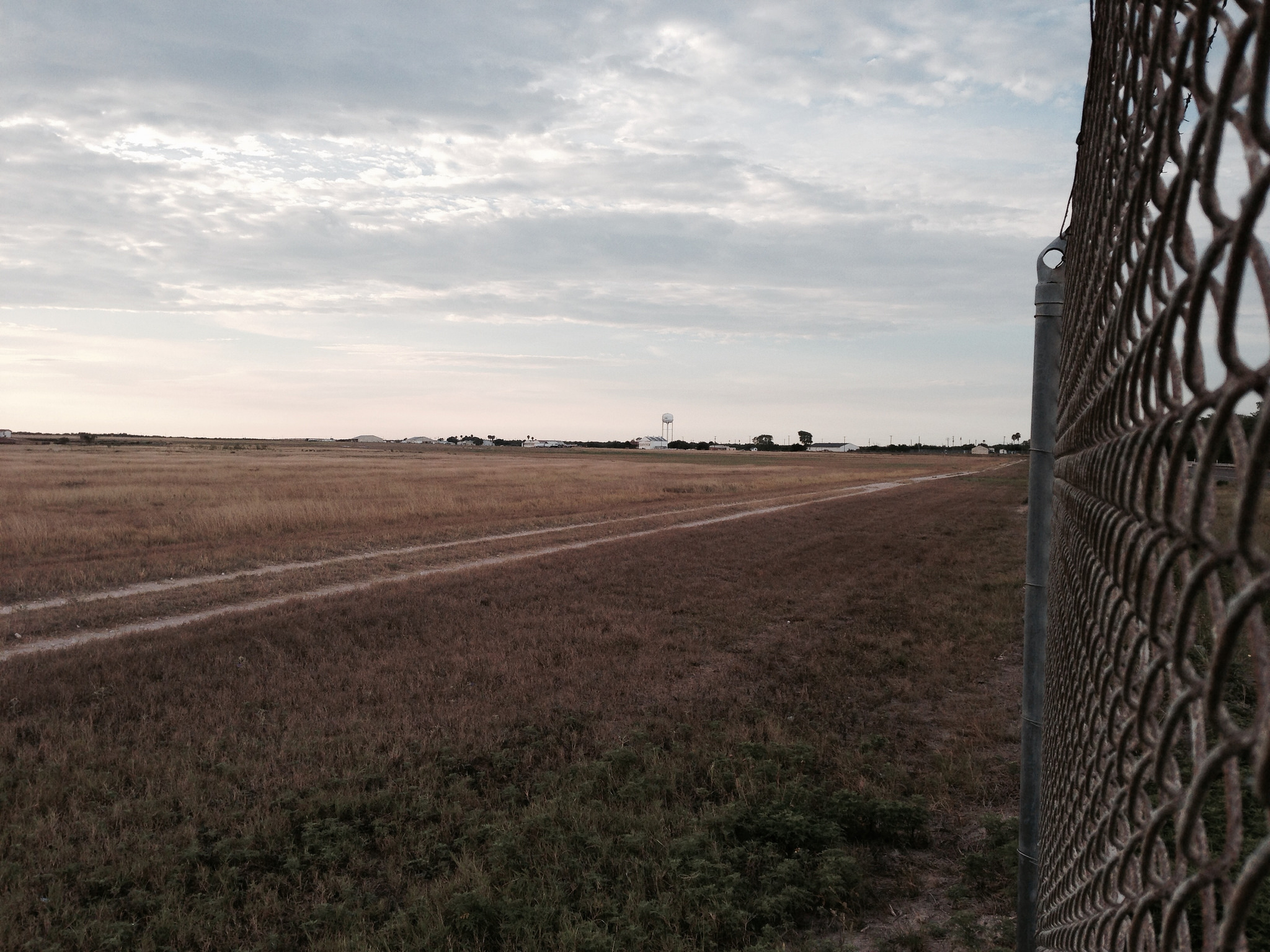
That's the place in the distance.

Those are tracks where the patrol vehicles pass.
I had a very fun ride and the tires felt very good. Not nearly enough miles to write a review of the tires at this time. I'll have to wait to do a complete review in the future. I'm using them on my RT also and they are doing very good mileage wise on that bike.
Thanks for reading.
Ride safe.
tsp
Ricardo On Pacific Coast Highway
Read More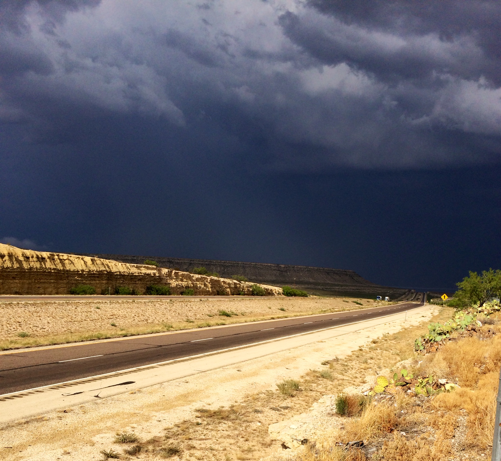
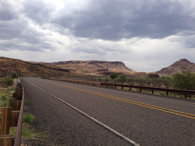
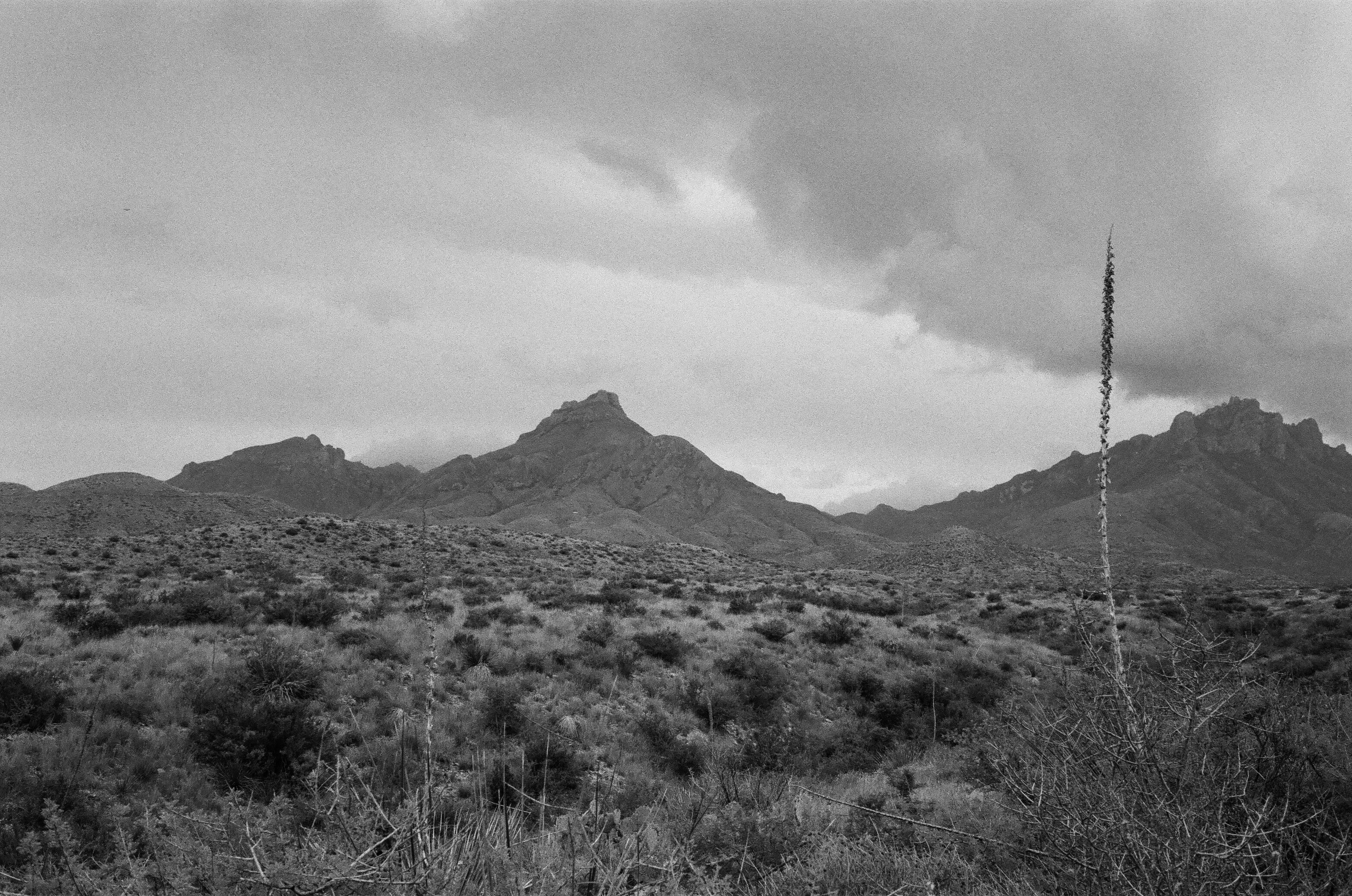
Looking Towards Ozona, Texas
Behind us, it was clear and sunny, but ahead a storm, void of light, rolled up from the Northern mountains of Mexico and it was crawling across Interstate I10. Ed and I pulled over at a rest-stop that was an arm's reach from the storm, about 36 miles west of Ozona, Texas to finish putting on our rain gear. As soon as we pulled into the rest-stop two guys, each with an RV pulling trikes, came up to us and said we'd better wait it out because there's hail up ahead. One of them said that's why the temperature is dropping so fast. It was in the high 80s, but now was about 70 and dropping more. It made sense to wait it out and as we waited, a lady came up to me to show me the storm on her Galaxy phone. She said, "I just live about 20 miles east of here and I just got off the phone with my daughter and says there's heavy rain and hail."
The Weather Bug App on my phone showed just what we saw, but it was more stationary than we thought because it looked like it was just on top of I10 with no interest in moving out of the way. About 15 minutes later the rest of our riding buddies approach us, but they are not pulling over. That's a mistake. Marco, David and Tomas just keep going into the blackness like a moth to light. Ed and I figure we should try and stay together so we get on our bikes and pull out not far behind them.
Within four or five miles we begin riding into the rain, at first, only huge drops fell, but it wasn't long before it became a real frog choker. Cars and trucks starting pulling over to the side of the highway, but we kept moving. We caught up with the guys after a short while and it was then that I said to myself, "Wow, that was a big rain drop that hit my left hand". Of course, it was hail. Soon I could hear the hail hitting my helmet as it made a distinct 'clack' as the hail hit. Unlike Marco who was on a Ducati, the BMW RT has a great aero-dynamic design and only my hands and helmet were getting hit by hail. I figured it was between dime and nickel sized hail as we could clearly see it hitting the pavement and accumulating on the sides of the highway.
By now all traffic, or so it seemed, had pulled over to the side of the highway or crowded under the few overpasses that cross I10. The overpasses looked like a crowded DQ on a hot summer night. I can imagine what they were saying as five motorcycles passed by. We pulled over once, but it was worse without the aero-dynamic protection so we pressed on.
About seven or ten miles from Ozona we finally saw a sliver of light on the eastern horizon. We were almost through. We kept our gaze fixed on the light as it kept getting wider and wider. Within a few miles of Ozona the rain stopped and we had made it through. Another rain cell was moving in from Mexico so we quickly filled up and kept pushing east towards Kerrville. We rode over 650 miles that day from Silver City, New Mexico to Ingram, Texas, but only about 20 miles of it was one for the story books.
Quick post. Rode 1,029 miles yesterday from Mission, TX to Willcox, AZ. Long day!
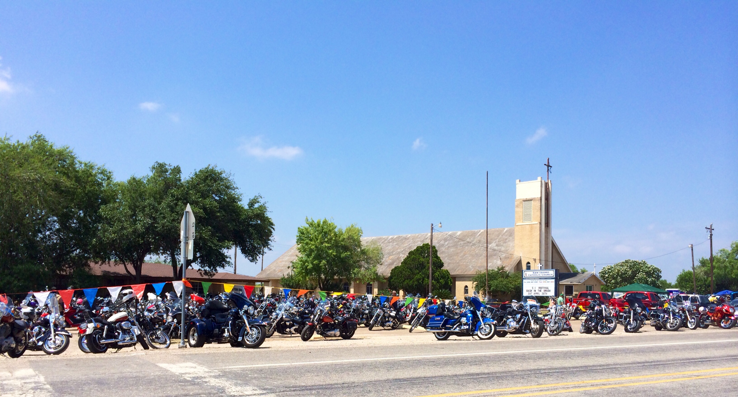
Irma and I rode out to San Isidro, Texas with Albert and Lisa to check out the "Bash In the Brush" church fund raiser. It's evolved into more of a spring motorcycle rally than anything else. There's live music, cook-offs, vendors, food, and beer. San Isidro is one of the last communities northwest of the valley, about 50/60 miles from Mission/McAllen area, before heading North toward San Antonio via the rural highway 16. It was at one time a great ride north, but now, north of San Isidro, it's cluttered with hundreds of fracking trucks working on the oil rigs.
It's a nice ride and great little rally that just keeps getting bigger every year. It's one not to miss in South Texas.
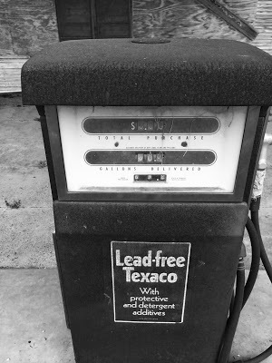
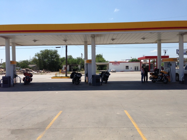
Gas at $0.63 per Gallon!
Not far from the busy roads of the Rio Grande Valley lies Delmita, Texas. It actually has a Post Office though I am not sure what kind of hours it keeps. The Post Office is a small one room building right on the main road named Delmita Road. It's right off of Hwy 2294 which intersects with Hwy 1017 in San Isidro, the closest town to Delmita. Delmita seems like a place frozen in time, the highway has actually been blocked off on one of the entry points on Hwy 1017 and the road no longer seems to be maintained by TxDot.
The gas station is now fenced up with its weathered lumber in need of some TLC. The gas pumps mark gas prices at $0.63 per gallon. It's a nice breakfast ride as its peaceful and quite, away from city traffic and all those fracking trucks that are all over rural South Texas.
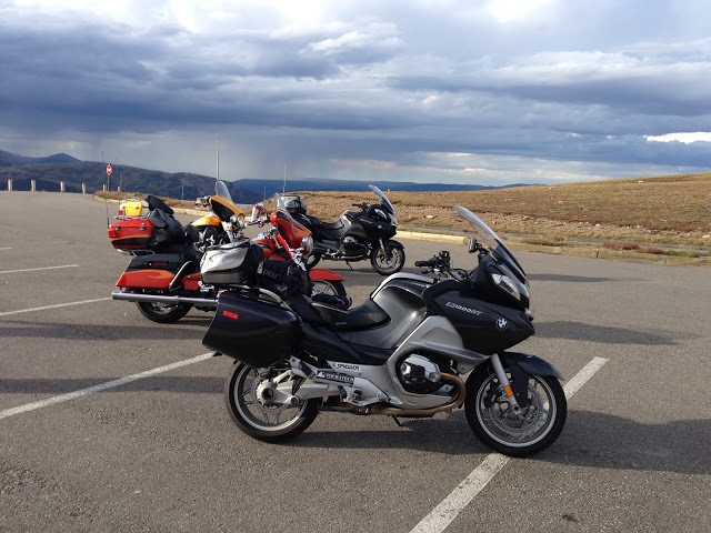 |
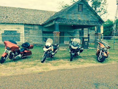
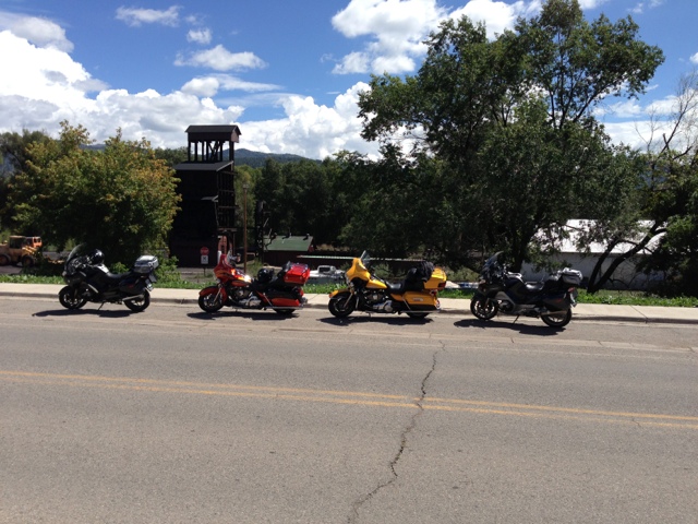
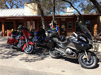
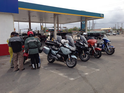
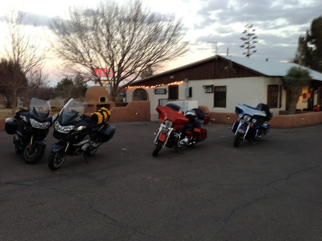
| The bikes |

 |
| Coffee in early morning Durango |
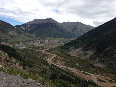 |
| Silverton down below |
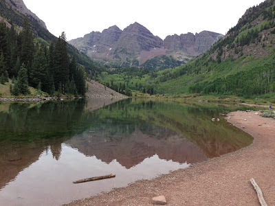 |
| Maroon Bells |
 |
| Self explanatory |
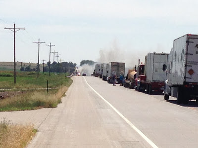 |
| Something on fire up ahead. |
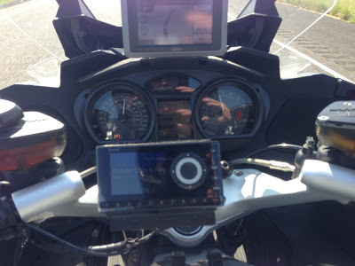 |
| The cockpit |
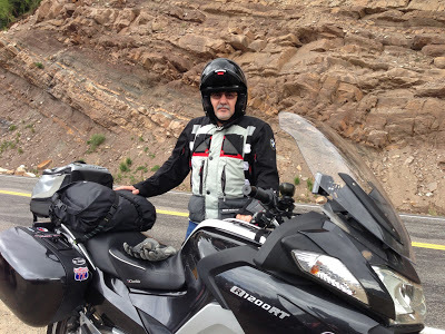 |
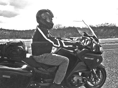
| The author and his RT |
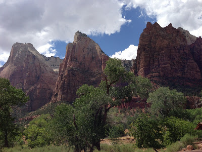 |
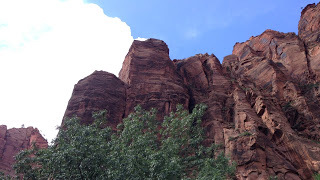
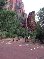
| Zion National Park Court of the Patriarchs Views of Abraham, Isaac, and Jacob Peaks |
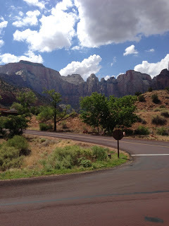 |
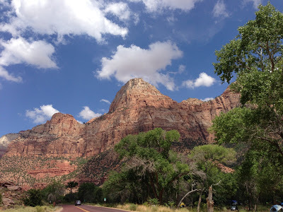
| In Zion National Park |

 |
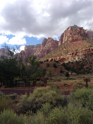
| A Great View |
 |
| Clouds Building Up |
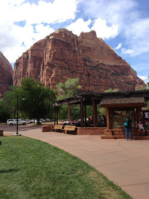 |
| Outdoor Cafe at the Lodge There's Beer! |
| Green Space at Lodge |
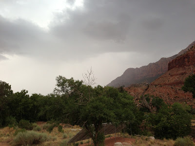 |
| Approaching Rain Storm |
 |
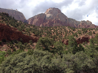
| Beautiful Scenery at Every Bend in the Road |
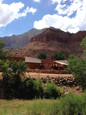 |
| Across the Creek & You're In Springdale, UT |
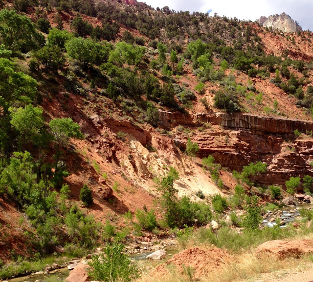 |
| Virgin River |
 |
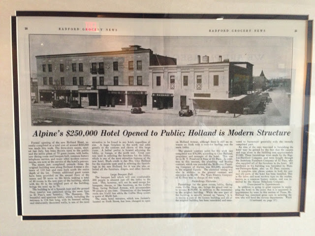
| Holland Hotel in Alpine, Texas |
 |
| Train Across Hotel Runs Through Alpine |
| At the Holland Hotel Bar During Spring Thunder Storm |
 |
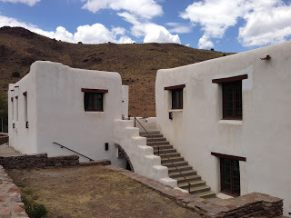
| Holland Hotel |
 |
| Fort Davis Headed North |
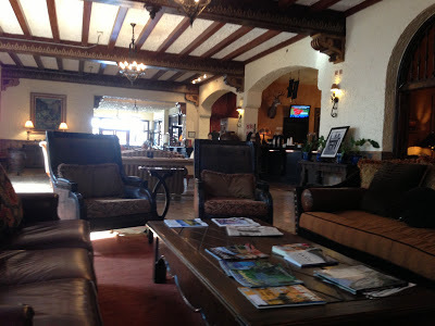 |
| Hotel Lobby Area |
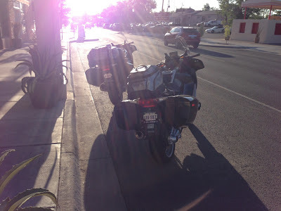 |
| Just before early morning departure |
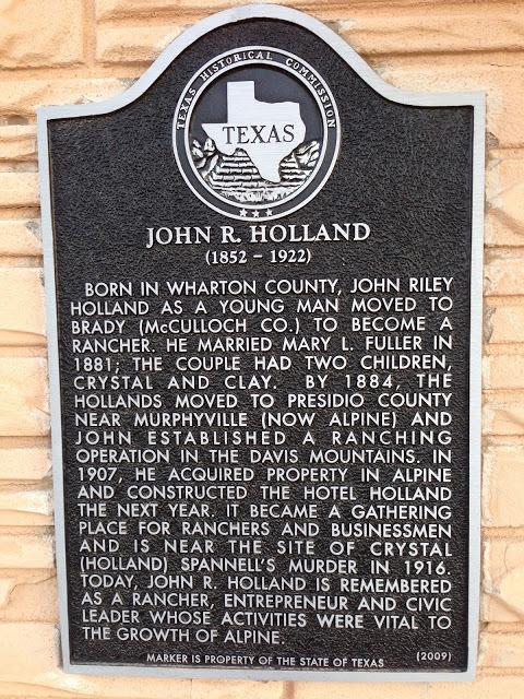 |
| John R. Holland Bio |
 |
| "Common battery telephone service..." |
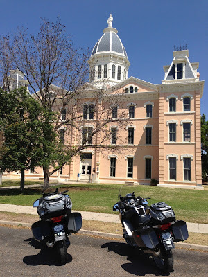 |
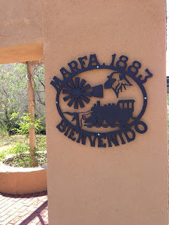
| Presidio County Seat - Marfa Texas |
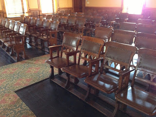 |
| Old Courthouse Seating Still in Vogue |
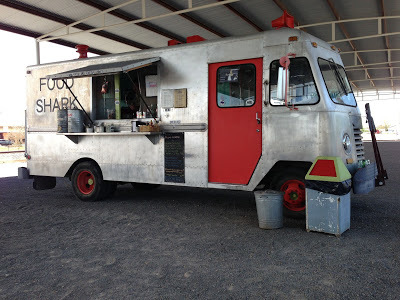 |
| The Food Shark |
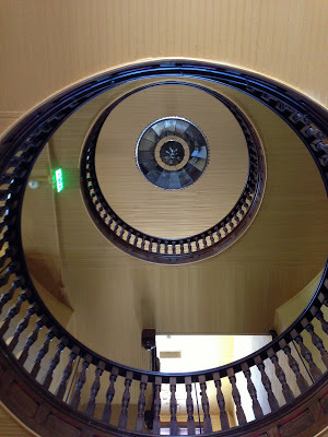 |
| Inside Courthouse Dome |

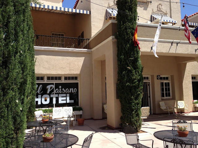 |
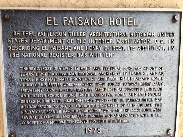
| El Paisano Hotel Courtyard |
 |
| Looking back North towards the storm |
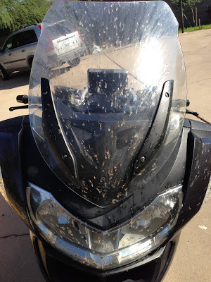 |
| Soon after the rain it was these things |
 |
| My helmet didn't do much better |
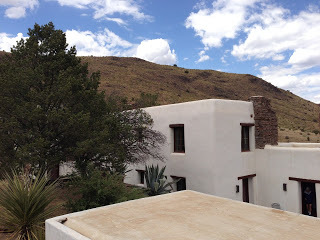
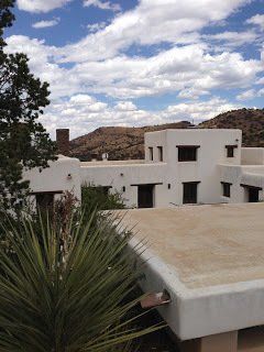
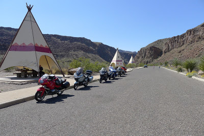
| The Indian Lodge |
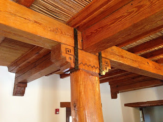 |
| Community Room Column & Beams |
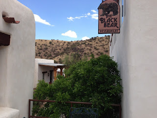 |
| Black Bear Restaurant |
| Swallow |
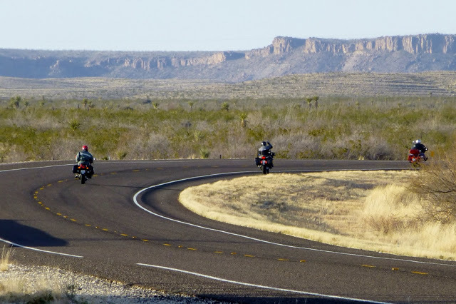 |
| Heading from Big Bend National Park Towards Alpine Picture by Voni |
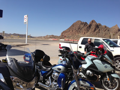
| Ricardo & New RT |
 |
| Cruising Down the Highway |
 |
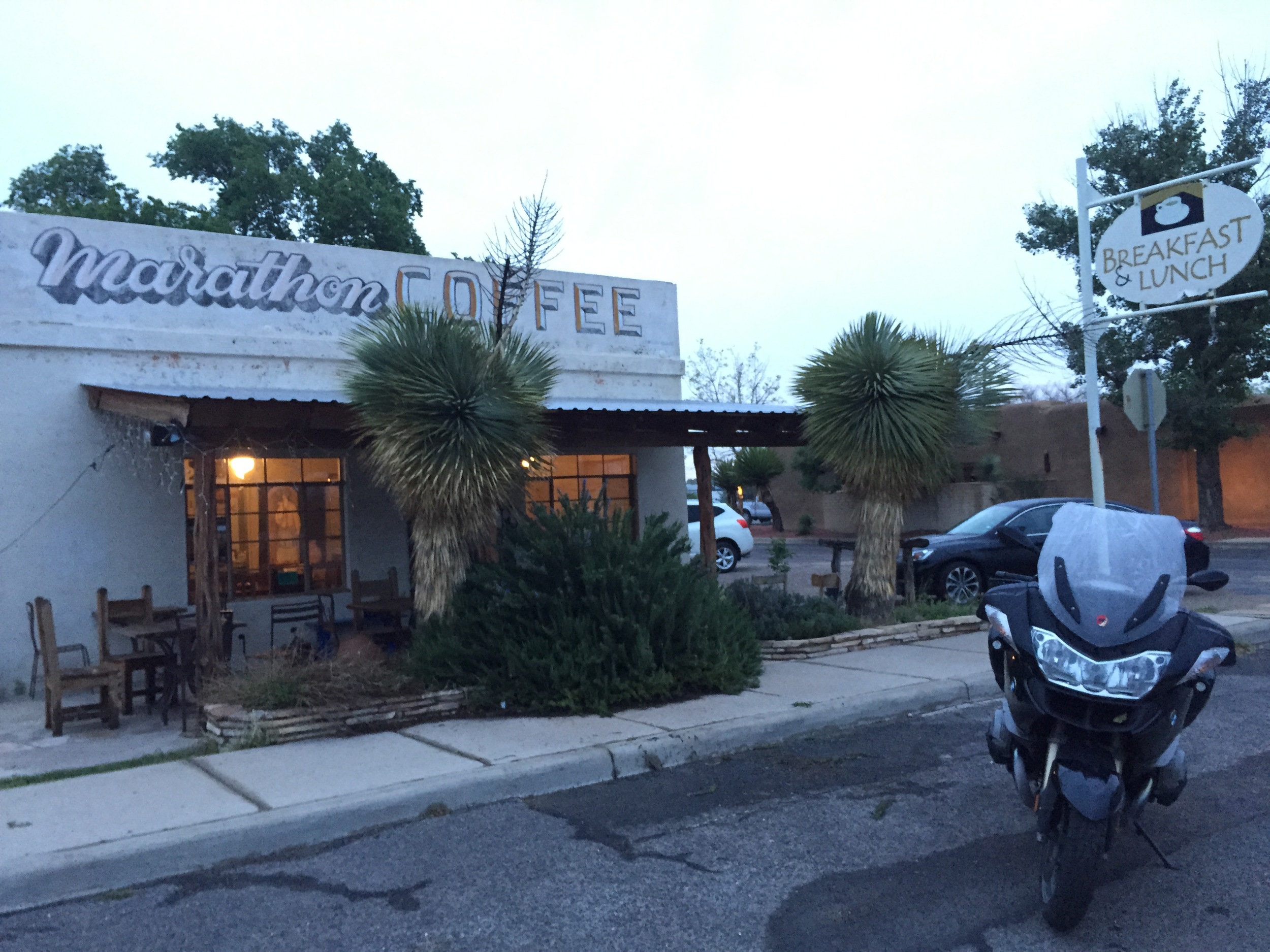
| Marathon Motel |
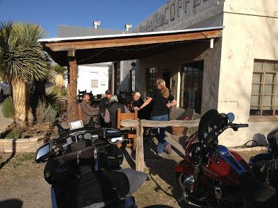 |
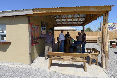
| Marathon Coffee Shop |
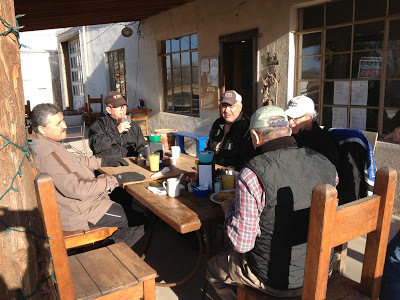 |
| Marathon Coffee Shop |
 |
| Pancho's BMW RS |
 |
| Marco Having a Bad Hair Day! |
| Tomas & Albert by Rio Grande River along Hwy 170 |
| Pancho, Marco, Ed & Albert in Concan |
 |
| Pancho in Study Butte, Texas |
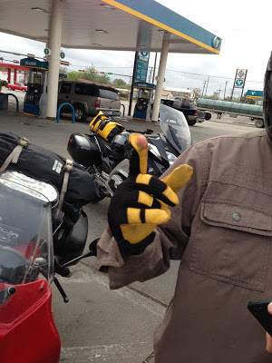 |
| Ed's solution for operating his phone! We're sure Apple is picking up on this one; the new iHandinGlove! We'll be selling these for $39.95 & if you order before July 4th we will toss in a left-handed glove for free. There is a small S&H fee of $19.95. Satisfaction guaranteed, if not completely satisfied simply return the glove(s) for a complete refund minus a small restocking fee of $21.95. Our shops and technical staff are ready to help you. Wait, that's not all, yes, for a small added fee we can design the same glove for left-handed users, but you must act now! Imagine yourself texting away while cruising down a narrow country road at 75mph while your friends just look on with envy! Don't be the last one in your riding group to be without the technical advantages of our designs. (Just in case anyone thinks we're serious, we're not...don't send us any money, we don't sell gloves cut-up with scissors, and never text while riding) |
 |
| Checking out the glove in Freer, TX |
 |
| Going down the Hwy |
 |
| Made it to Marathon Motel just before dark! |
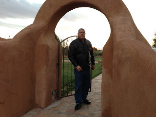 |
| Albert at motel patio area |
 |
| Yes, they have TVs (small), but no WiFi! |
 |
| Rear view of Marathon Motel area. |
 |
| Persidio stop at fruit drink cafe |
 |
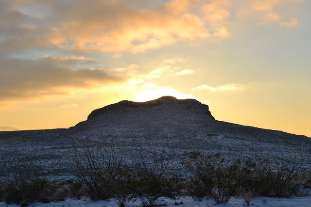
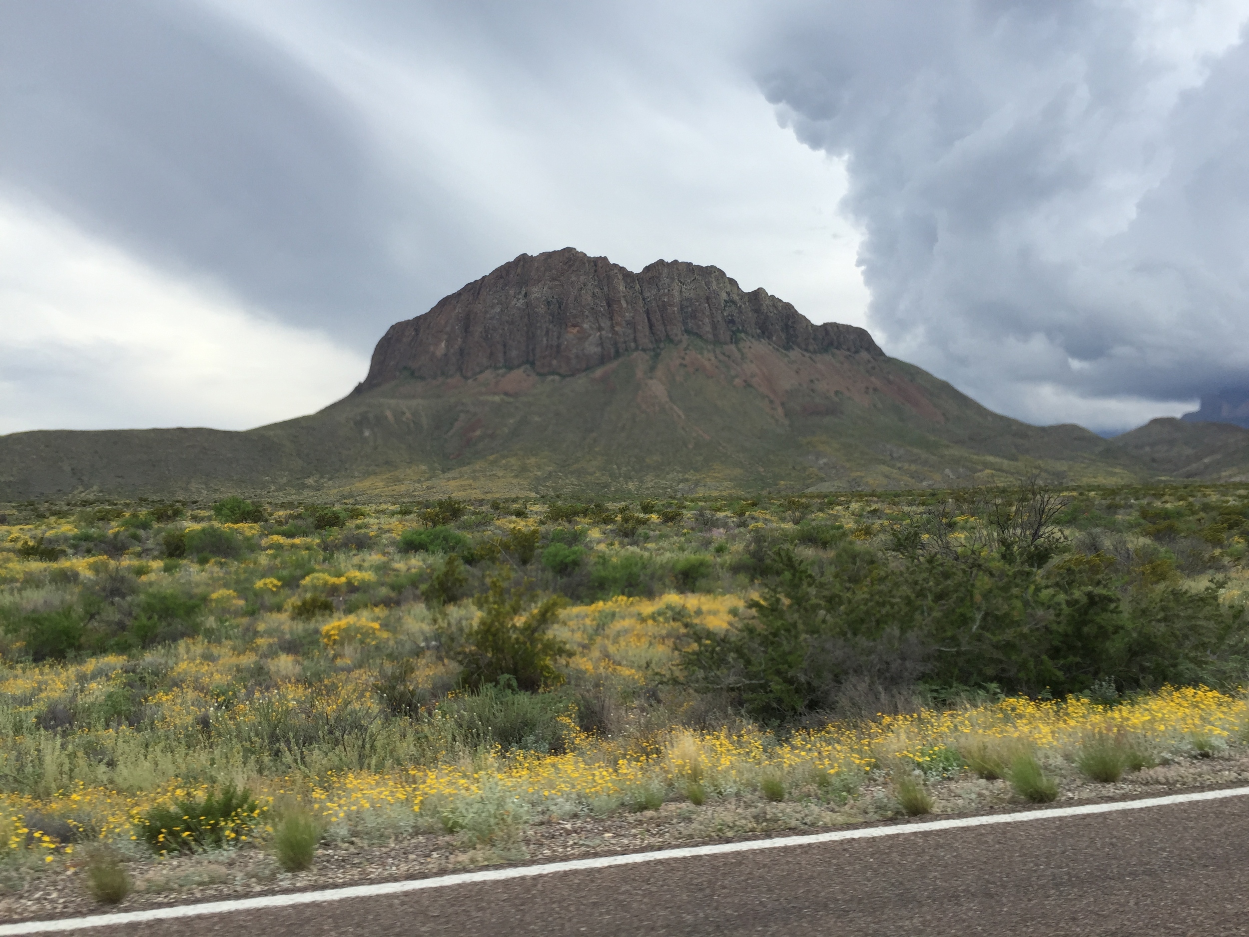
| Big Bend State Park |
 |
| Rest Stop |
 |
| Rio Grande River |
 |
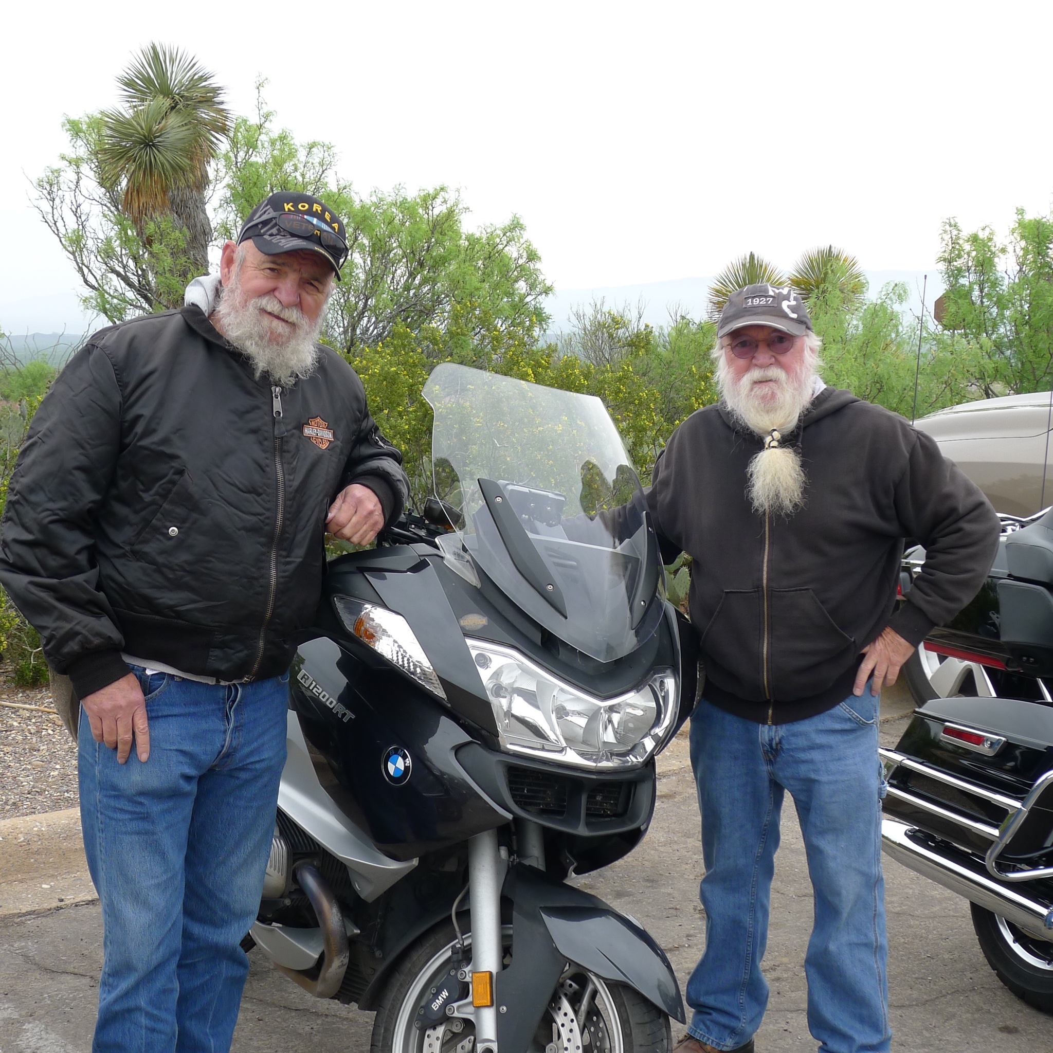
| Albert |
| Marco |
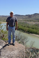 |
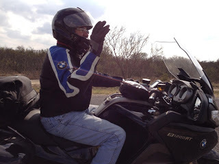
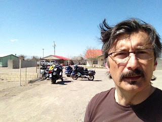
| Ricardo |
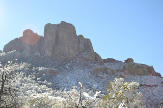
| Arriving at BBNP Chisos Basin |
| Chisos Basin at BBNP |
 |
| Big Bend National Park - Chisos Basin |
 |
| Voni took this picture as we sped by leaving Big Bend on Saturday, March 9, 2013! |

 |
| Terlingua |
 |
| Road less traveled! |
 |
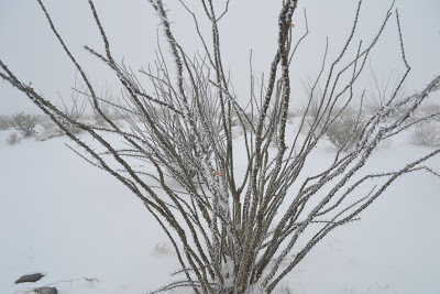
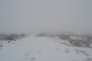
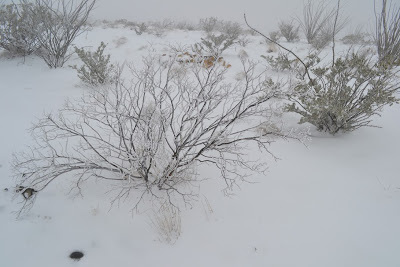
| Looks cold! |
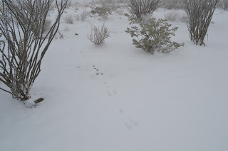 |
| Rabbit Footprints |
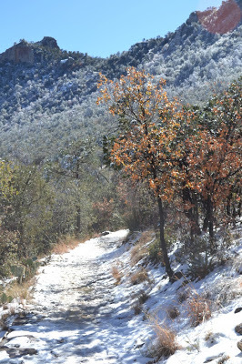 |
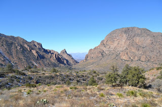
| Lost Mines Trail at Big Bend National Park |
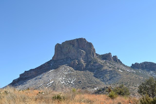 |
| Approaching Big Bend's Chisos Basin |
 |
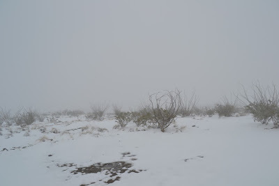
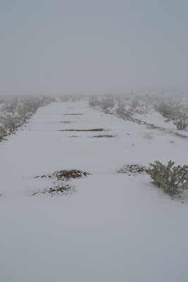
| Snow beginning to melt |
 |
| Big Bend at Chisos Basin |

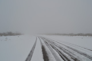 |
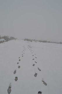
| Not too many travelers |
 |
| Date in snow 01/04/2013 |
 |
| View from Clayton's |
| Manuel's Restaurant |


