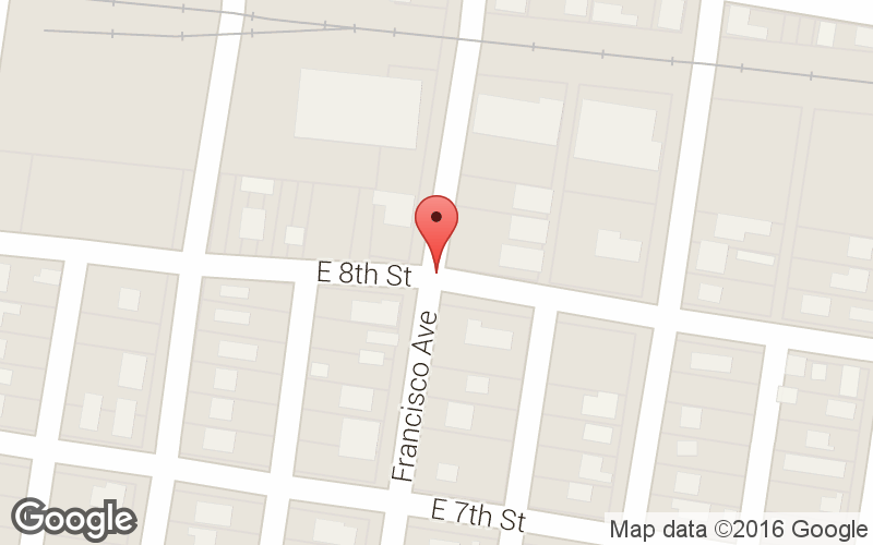
View Larger Map
 |
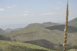
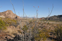
| South of Tropic of Cancer |
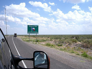
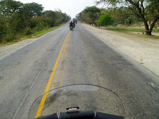
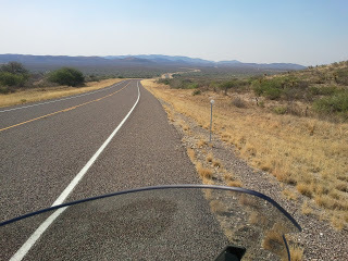
Veracruz, Mexico is one of the most beautiful cities in Mexico and its Caribbean, African, and Spanish influences port are undeniable especially in its architecture and foods. It's Mexico's oldest sea port having first served as a port of entry since 1518 making it about 500 years old; more than double the age of our country's independence. Taking a fairing direct route, Veracruz is about 650 miles from the Texas border (Mission, Texas).
 |
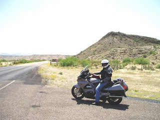
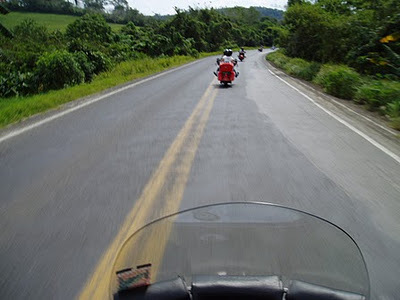
| Mission, Texas To Veracruz, Mexico |
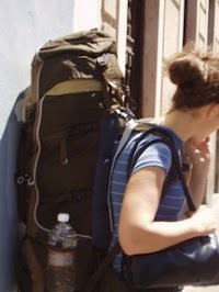
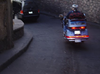
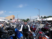
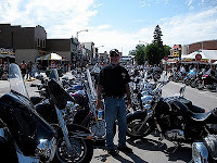
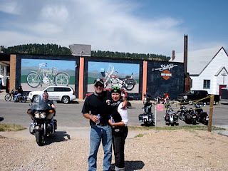
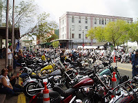
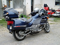
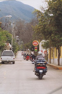
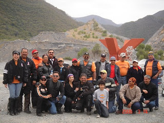
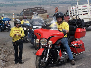
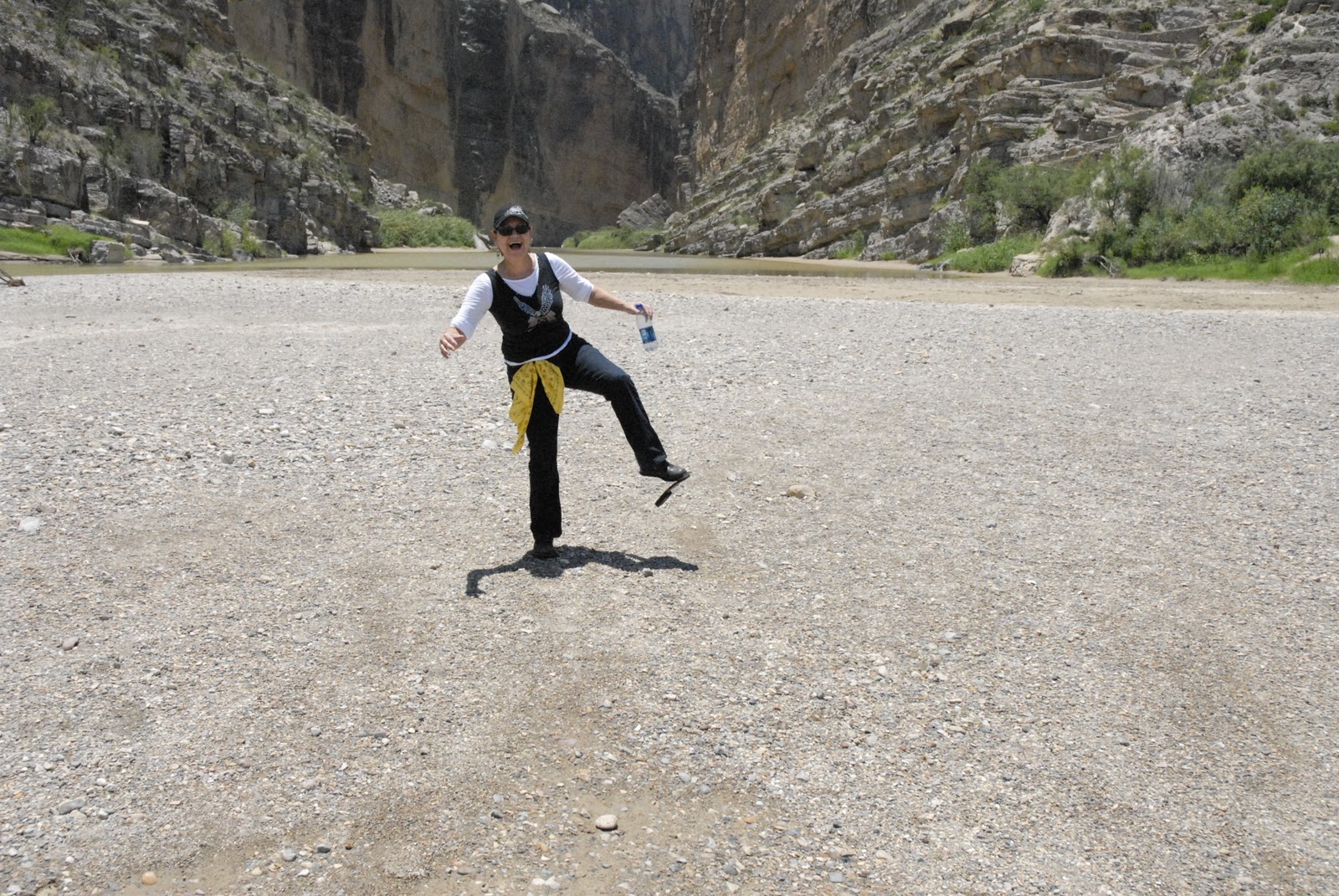
Twenty four of us set out for this seven day trip and for the first time we had a couple follow in a suburban which added a degree of security in case we broke down or had an accident, neither of which occurred. It's funny to note that all of us had our bikes packed perfectly, but once we had the luxury of the Suburban it quickly got filled with bags and paraphernalia that made us realize just how much stuff we load our bikes with.
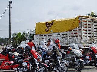 |
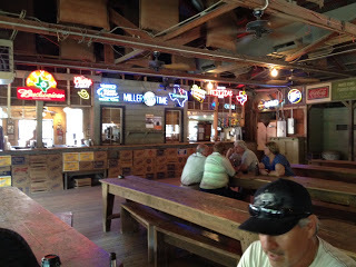
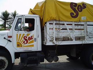
| Rest Stop - Just Follow that Beer Truck! |
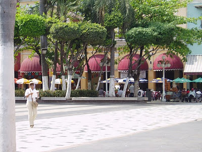 |
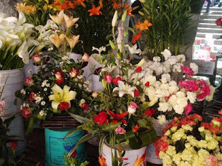
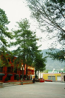
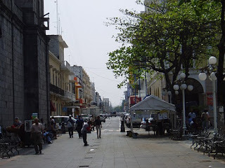
| Central Downtown Veracruz Plaza |
One of our group leaders had shirts made up for all of us which read, El Chorrito Club, commemorating one of our first rides into Mexico when two of our group dropped their bikes as they stalled out on a sharp narrow turning incline as we headed to El Chorrito, Hidalgo, Tamaulipas, Mexico.
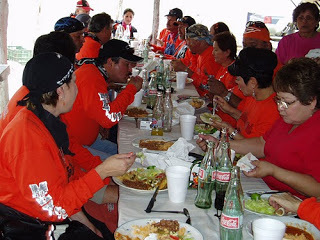 |
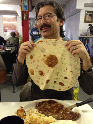
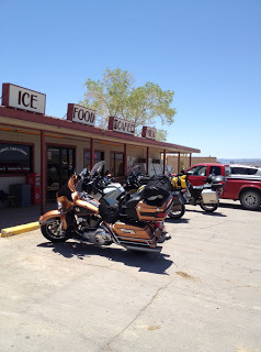
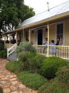
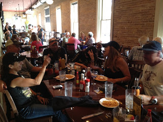
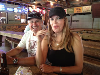
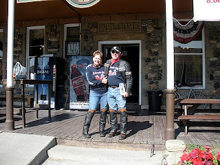
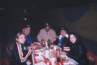
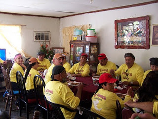
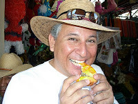
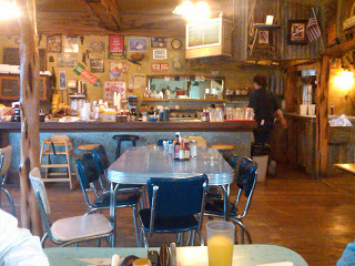
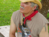
| Lunch Stop |
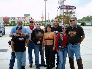
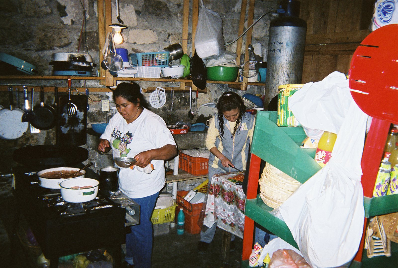
Our group was so large that routine gas stops and meal breaks usually turned out to be a good minimum half hour for gas and about two hours for lunch, but that didn't seem to bother any of us as we were having a good time. For lunch breaks we'd try and find something out of the ordinary where they could handle a large group.
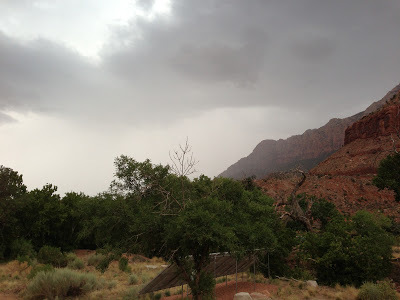
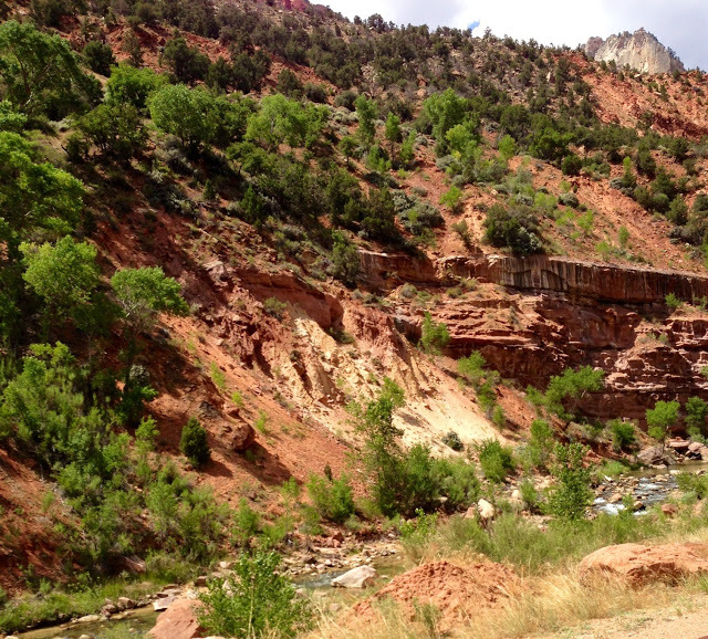
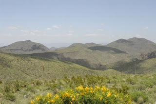
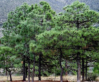
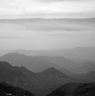
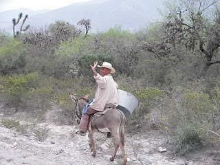
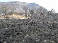
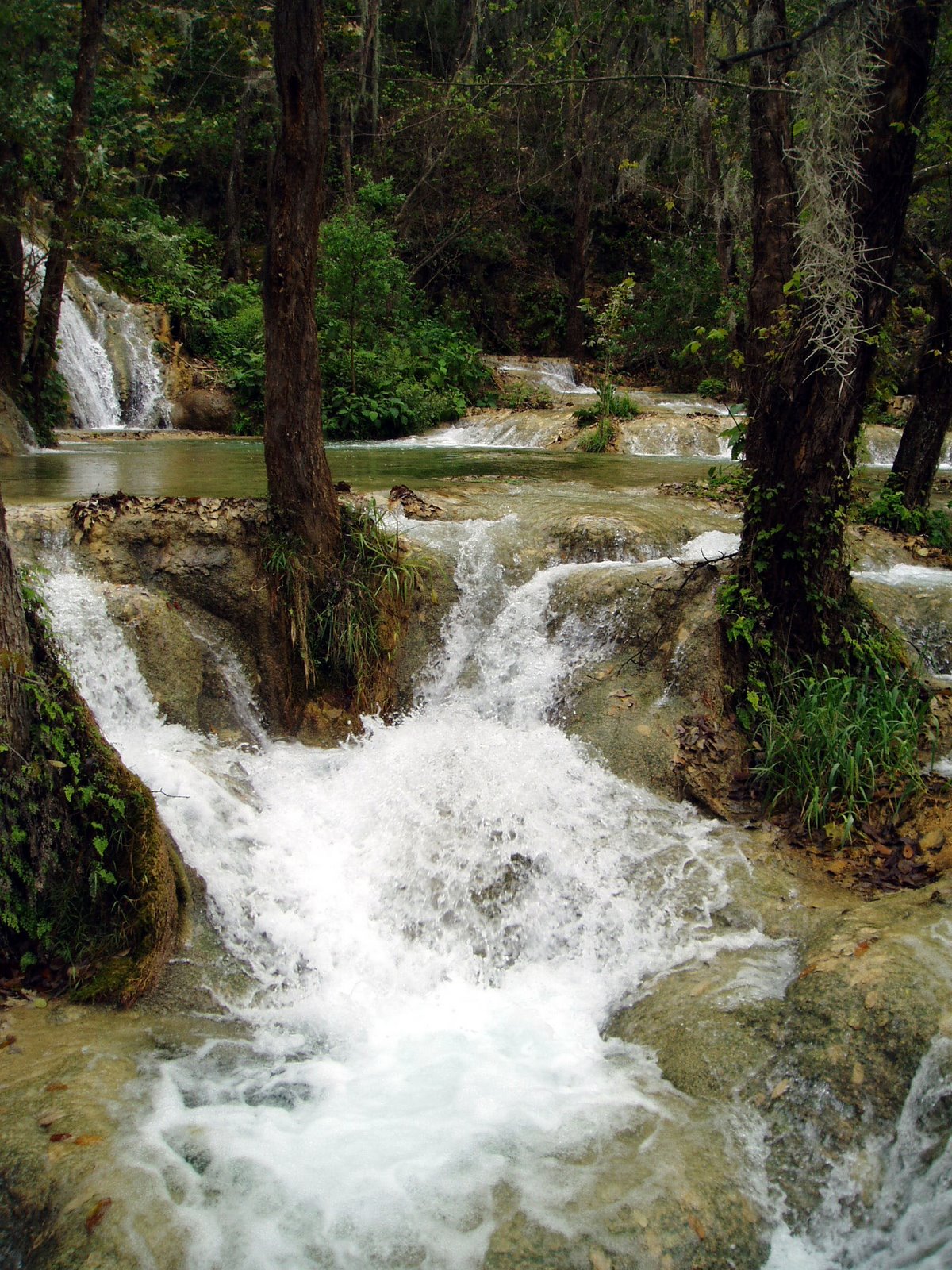
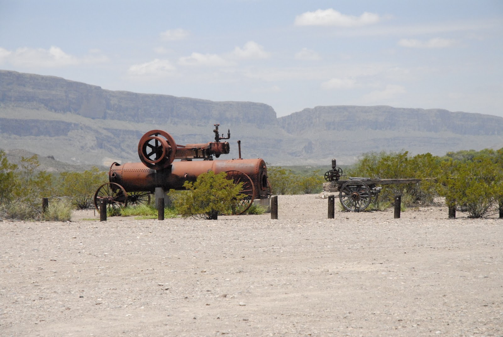
South of the Tropic of Cancer that the landscape started to change a little bit, but it was not until we were well south of Tampico that the vegetation really went from dry semi-arid conditions to lush vegetation.
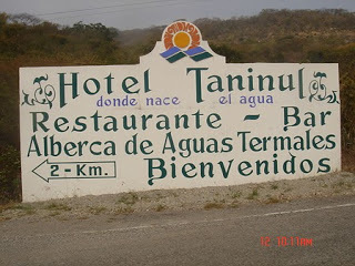
Our first night was spent in Tampico in a downtown hotel which made it convenient for us to leave the bikes parked while we hunted down a good restaurant or bar. Tampico founded in the early 1800's is another port city which is very industrialized and carries tons of commercial traffic inland to Mexico's major cities.
 |
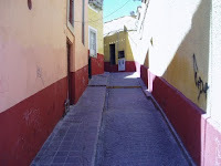
| Away from the crouds on a Tecolutla Side Street |
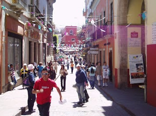
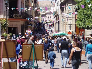
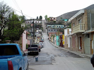
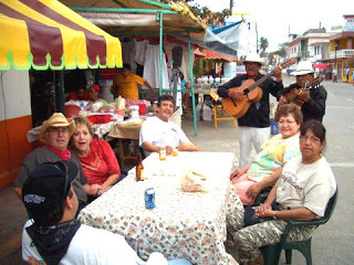
We were off early the next morning and headed to our next stop, Tecolutla. Tecolutla is a small village on the Gulf Coast which serves as a big tourist village mostly to local Mexican nationals since it is the closest beach to Mexico City. It's a real jewel, hidden away from all major traffic it serves as a must stop for anybody wanting to really see something special. The Tecolutla River discovered in 1518 pours into the Gulf of Mexico. We happened onto Tecolutla on a Saturday and they were holding an annual festival so everybody was out on their main streets strolling up and down. We were really fortunate to be there and participate in the festivities. We wandered through the streets trying to decide where to stop for a beer or dinner...too many choices. One of us, as I discovered later that evening, followed a young boy carrying a huge lobster as he made his way to a tiny restaurant. Our rider quickly said that he wanted "that" lobster for dinner! You won't see that too often on our US streets.
Our hotel had a secure fenced parking area where we kept our bikes and a young man washed our bikes for just a few pesos while we took in the town.
 |
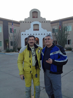
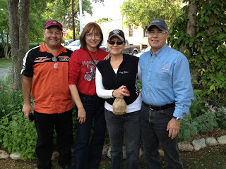
| Irma & Ricardo in El Tajin |
The next day we took a slight detour from our journey south along the coast as we headed West about thirty miles to the archaeological site of El Tajin. It's an ancient city with pyramids, buildings with bas-reliefs carved into its stone walls, and game courtyards where losers were beheaded. The carved reliefs tell a very interesting story on their culture, games, rituals, battle enemy's being decapitated, and social life.
Although it was out of our way, it was certainly a worthwhile detour. It's hard to imagine that just a few hundred miles South of our border there are archaeological findings that long pre-date the discover of America.
 |
| Jaime Pena at El Tajin |
 |
| Player's Courtyard at El Tajin |
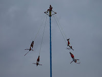 |
| Voladoros de Papantla |
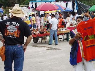 |
| El Tajin Market Area |
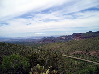
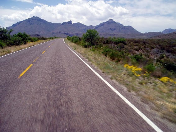
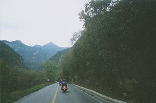
Our visit to El Tajin was only half day before continuing our journey down to Veracruz. The highway south of Tampico leaves a lot to be desired and it's probably some of the poorest highway since being so close to the coast it gets battered by coastal winds and moisture year-round.
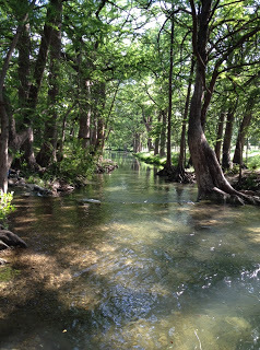
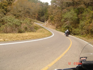
We hugged the coast as we stayed on the Poza Rica - Veracruz Highway (Mexico 180). Other than the condition of the road in spots the ocean views, the tropical vegetation and sea breeze made this ride one of our most memorable.
It was a long ride into Veracruz and ended up rolling into town after sunset. We finally settled on a hotel along the Costa Verde vicinity, checked in, and made our way across the street to a nice seafood restaurant.
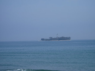 |
| View from our hotel of Isla de Sacrificios |
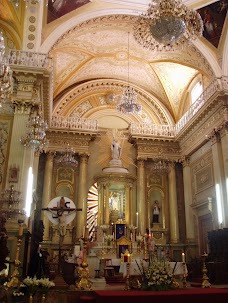
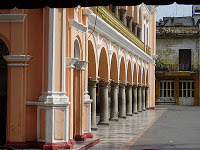
It wasn't until daylight and riding into downtown that we discovered what a beautiful city we had landed onto. It's an old city with much history and it architecture is beautiful. We went by the port where huge ships were docked and they were busy either getting loaded or unloaded and headed to unknown destinations.
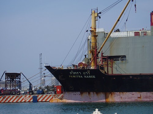 |
| Veracruz Port and Ship of Unknown Origin |
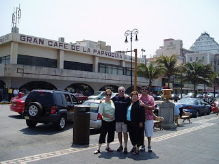 |
| Gran Cafe de la Parroquia |
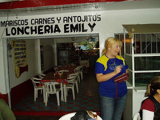
Of course, a prerequisite of any Veracruz trip is a visit to the historical Gran Cafe de la Parroquia where clicking your glass with a spoon sends over a waiter to pour milk into your coffee. In my opinion, it's a must visit, but it's not for the food, just for the coffee and for the fact that it's more than a restaurant, it's more of an institution in Veracruz. After your coffee we walked the streets and dropping into the markets along the docks to check out the tourist things. That evening we asked a waiter at a "nice" touristy restaurant for a recommendation and he quickly told us that after his shift was over he headed over to a little side street restaurant where he worked another shift, but swore by the food. We took his recommendations and we were not disappointed. Seems most good restaurants like the one we visited has fresh seafood and can fix it just about any way you want. Of course, I had the Huachinango a la Veracruzano (red snapper) that was great.
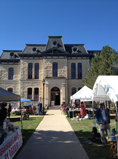
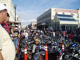
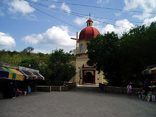
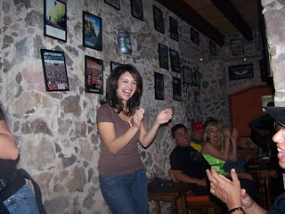
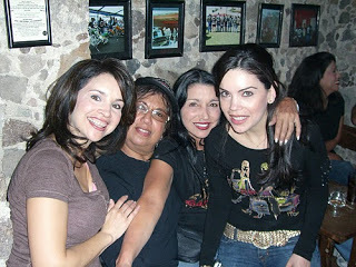
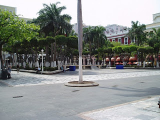
On our last day in Veracruz we spent most of the day in the main downtown plaza. All of us had a great time as we drank, listened to music, and just kicked back and enjoyed good food, drink, and music with good friends.
We took a few days getting back to Texas riding straight from Veracruz to Cd Victoria for an overnight stay and then back into Texas the following day. Veracruz is one of the southernmost rides we have taken into Mexico, but it was a great ride along the Gulf coast. Once things settle down in Mexico we'll point our bikes in that direction again.
 |
| Plaza |
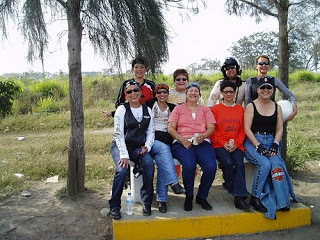 |
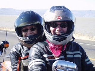
| The Girls |
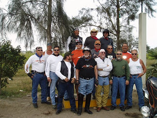 |
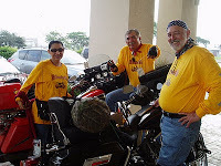
| The Boys |
 |
| Veracruz |
 |
| Roadside Luncheon Stop |
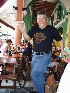 |
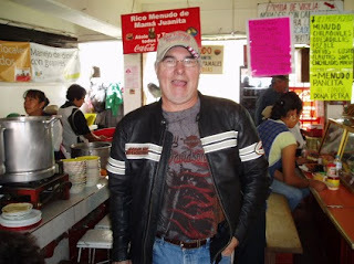
| Joe at the Plaza in Veracruz |
 |
| Trio at the Veracruz Plaza with Irma |
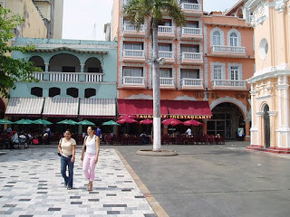 |
| The Plaza |
 |
| Lunch Stop |
 |
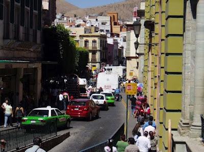
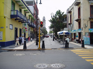
| Veracruz Downtown |
 |
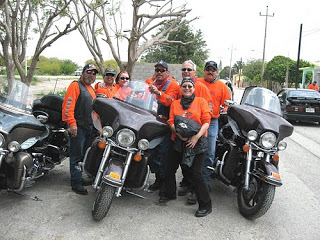
| Veracruz Group |
View Larger Map